The Landsat satellite record stretches from 1972 to the present. This gallery includes all Landsat images published on the Earth Observatory, Visible Earth, and Landsat Science web sites from all seven Landsat satellites (Landsats 1-8, Landsat 6 failed to achieve orbit). All of the images are in the public domain and may be used with attribution. The correct attribution for imagery obtained from this site is:
“Landsat imagery courtesy of NASA Goddard Space Flight Center and U.S. Geological Survey” or “USGS/NASA Landsat”
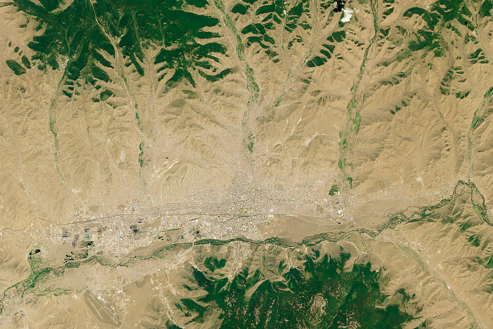
The Urbanization of Ulaanbaatar Read more
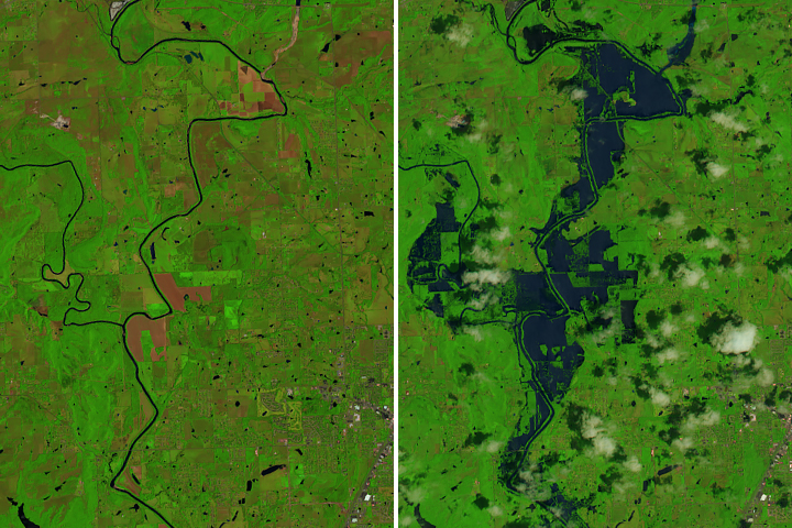
Flooding Along the Arkansas River Read more
A Bit Less Excelsior Read more
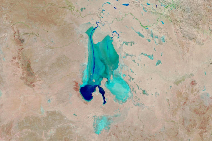
Rare Filling of Kati Thanda-Lake Eyre Read more
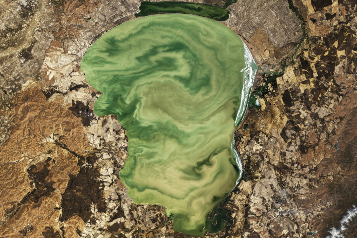
Eerie Green Swirls of Lake Khanka Read more
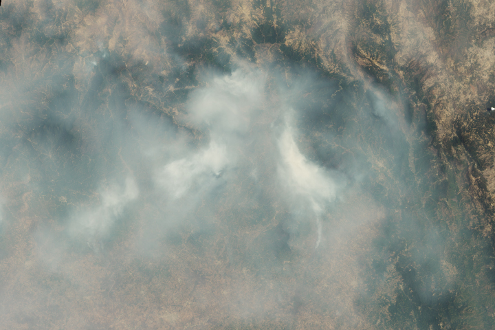
Wildfire Smoke Shrouds Mexico City Read more
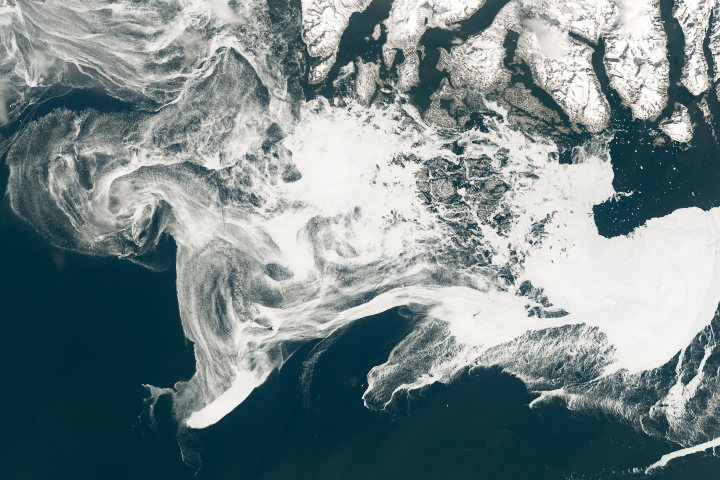
Spring Freeze in the Labrador Sea Read more
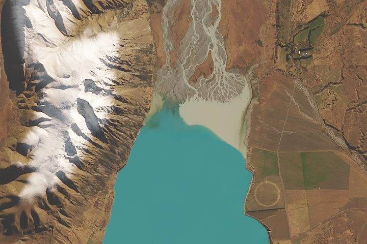
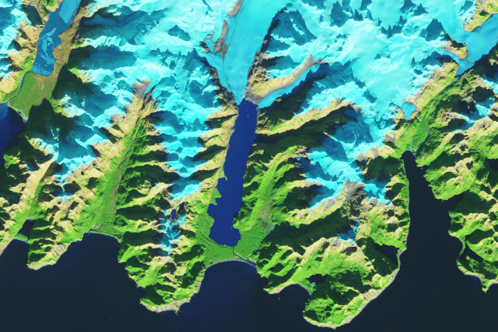
How Glaciers Turn Lakes Turquoise Read more
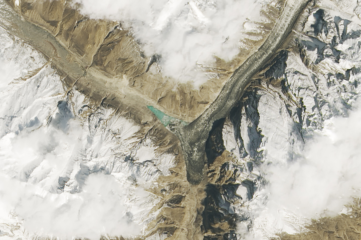
Surging Glacier Creates a New Lake Read more