The Landsat satellite record stretches from 1972 to the present. This gallery includes all Landsat images published on the Earth Observatory, Visible Earth, and Landsat Science web sites from all seven Landsat satellites (Landsats 1-8, Landsat 6 failed to achieve orbit). All of the images are in the public domain and may be used with attribution. The correct attribution for imagery obtained from this site is:
“Landsat imagery courtesy of NASA Goddard Space Flight Center and U.S. Geological Survey” or “USGS/NASA Landsat”
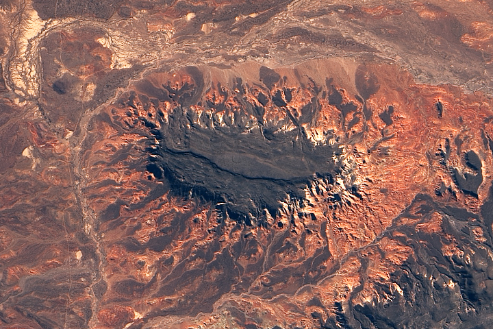
Volcanic Plateaus in Argentina Read more

Icy Art in the Sannikov Strait Read more
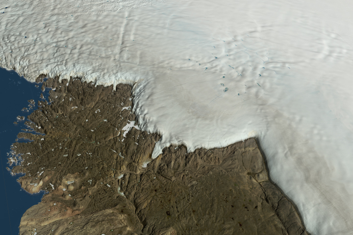
Crater Lurks Beneath the Ice Read more
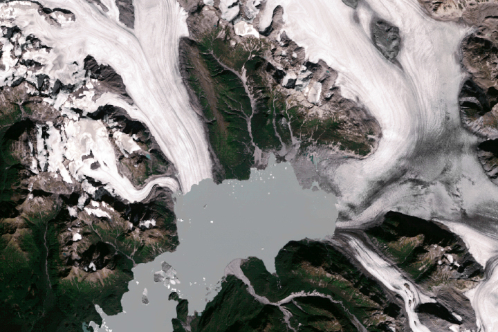
Watching a Glacier Die Read more
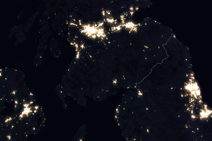
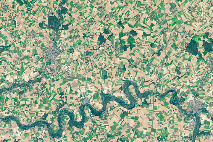
Galloway Forest Park Read more
Scars of the Somme Read more
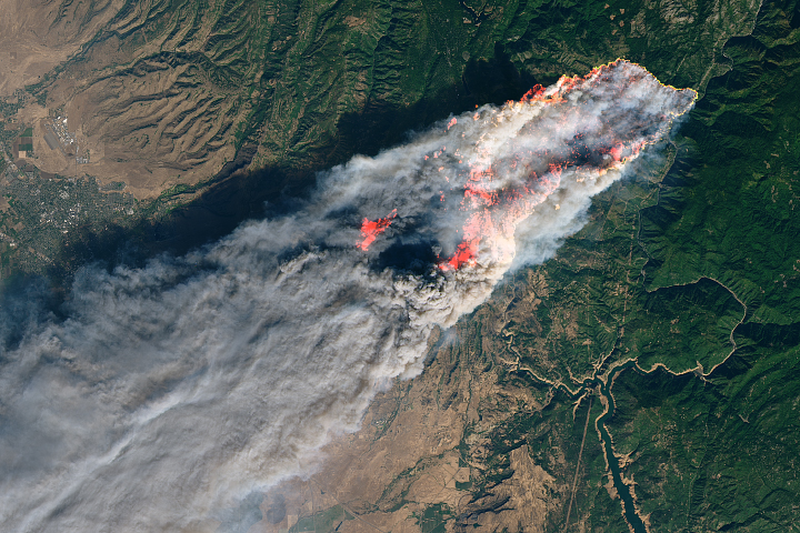
Camp Fire Rages in California Read more
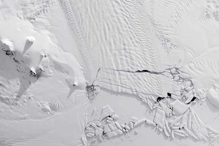
Pine Island Glacier Quickly Drops Another Iceberg Read more
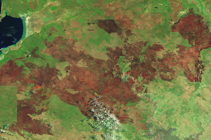
Bushfire Burns More than 2 Million Acres Read more