The Landsat satellite record stretches from 1972 to the present. This gallery includes all Landsat images published on the Earth Observatory, Visible Earth, and Landsat Science web sites from all seven Landsat satellites (Landsats 1-8, Landsat 6 failed to achieve orbit). All of the images are in the public domain and may be used with attribution. The correct attribution for imagery obtained from this site is:
“Landsat imagery courtesy of NASA Goddard Space Flight Center and U.S. Geological Survey” or “USGS/NASA Landsat”
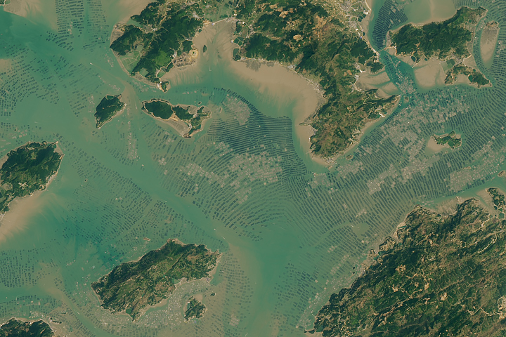
Seaweed and Fish World Read more
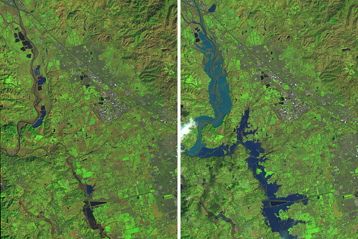
Flooding on the Russian River Read more
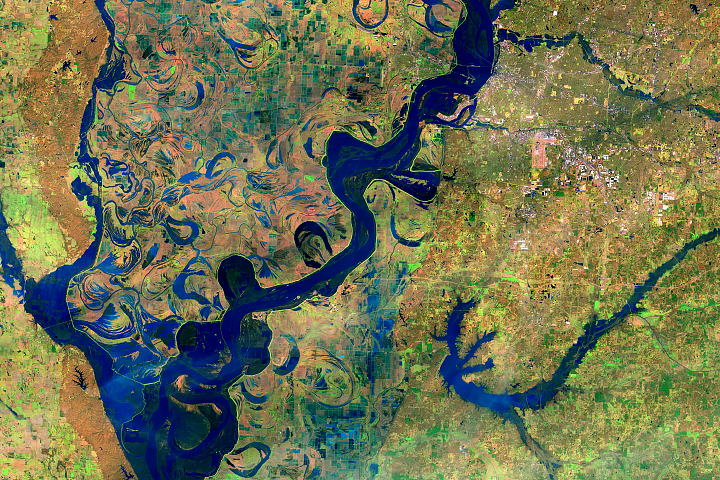
Early Flooding Along the Mississippi Read more

Fire Burns in Northern Italy Read more
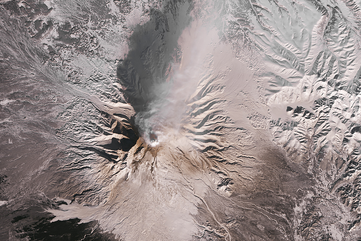
Shiveluch Smokes Once Again Read more
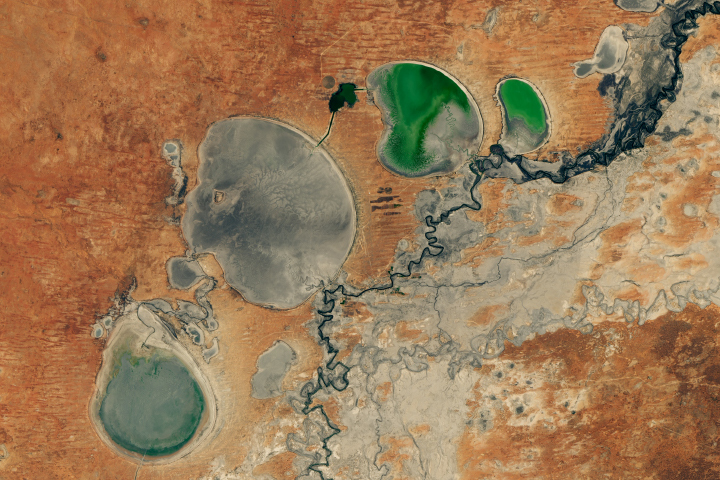
Australia’s Disappearing Lakes Disappear Even More Read more

Countdown to Calving at Brunt Ice Shelf Read more

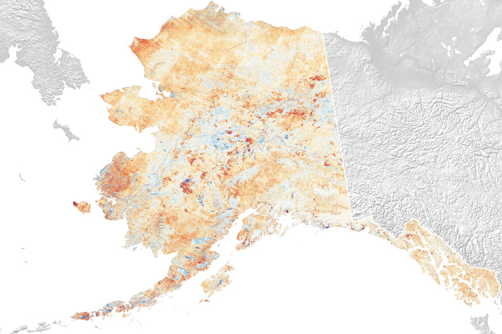
Alaska in Flux: Wildfire Recovery Paints Alaska Green Read more
Alaska in Flux: Slumping Coastlines Read more