The Landsat satellite record stretches from 1972 to the present. This gallery includes all Landsat images published on the Earth Observatory, Visible Earth, and Landsat Science web sites from all seven Landsat satellites (Landsats 1-8, Landsat 6 failed to achieve orbit). All of the images are in the public domain and may be used with attribution. The correct attribution for imagery obtained from this site is:
“Landsat imagery courtesy of NASA Goddard Space Flight Center and U.S. Geological Survey” or “USGS/NASA Landsat”
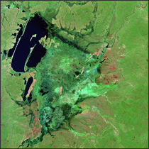
Bangweulu System Read more
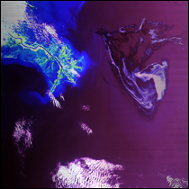
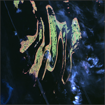
Gulf of Mexico Oil Spill 2010 Read more
Ulan Bator, Mongolia Read more
Belcher Islands Read more
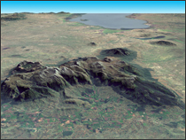
Mount Mulanje Read more
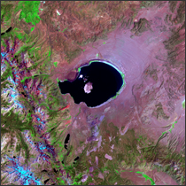
Mono Lake, California Read more
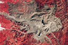
30th Anniversary of the Eruption of Mt. St. Helens Read more
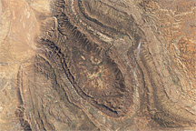
Wilpena Pound and St. Mary Peak, South Australia Read more
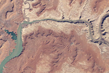
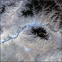
April 2010 Water Level in Lake Powell Read more