The Landsat satellite record stretches from 1972 to the present. This gallery includes all Landsat images published on the Earth Observatory, Visible Earth, and Landsat Science web sites from all seven Landsat satellites (Landsats 1-8, Landsat 6 failed to achieve orbit). All of the images are in the public domain and may be used with attribution. The correct attribution for imagery obtained from this site is:
“Landsat imagery courtesy of NASA Goddard Space Flight Center and U.S. Geological Survey” or “USGS/NASA Landsat”
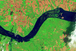
Flooding around Lewis and Clark Lake, South Dakota Read more
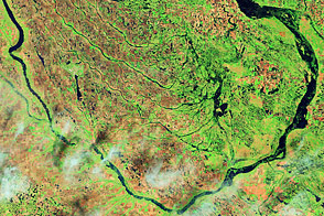
Flooding along the Souris River Read more
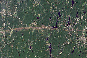
Tornado Track near Sturbridge, Massachusetts Read more
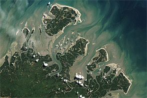
Barrier Islands off Brazil Read more
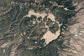
Valles Caldera, New Mexico Read more
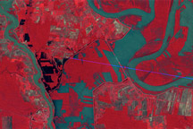
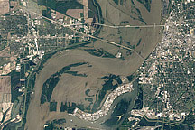
Mississippi Floods near Vicksburg Read more
Morganza Floodway, 1973 Read more
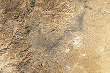
Amman, Jordan Read more
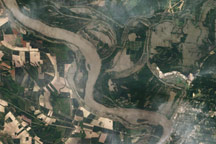
Flooding in Memphis Read more