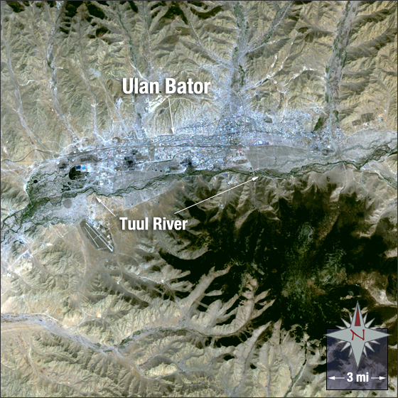
acquired May 20, 2007
Ulan Bator, Mongolia
Downloads
- Ulan_Bator.tif (2704x2704, TIFF)
Metadata
- Sensor(s):
- Landsat 5 - TM
- Data Date: May 20, 2007
- Visualization Date: May 19, 2010
Ulan Bator, Mongolia was initially founded as a Buddhist monastic centre in 1639. It is the capital and largest city of Mongolia with a population of just over one million. It is located at the junction of the Tuul and Selbe rivers in the north-central Mongolia.
In this image Ulan Bator is a silvery-grey. The city is surrounded by hills, mountains, and bare ground that appear various shades of brown and tan. Vegetation appears in dark green and areas shaded by mountains appear black.
This Landsat 5 image was acquired on May 20, 2007. It is a true color image using TM bands 3, 2, and 1. Ulan Bator falls on Landsat WRS-2 Path 131 Row 27.
NASA GSFC Landsat/LDCM EPO Team