The Landsat satellite record stretches from 1972 to the present. This gallery includes all Landsat images published on the Earth Observatory, Visible Earth, and Landsat Science web sites from all seven Landsat satellites (Landsats 1-8, Landsat 6 failed to achieve orbit). All of the images are in the public domain and may be used with attribution. The correct attribution for imagery obtained from this site is:
“Landsat imagery courtesy of NASA Goddard Space Flight Center and U.S. Geological Survey” or “USGS/NASA Landsat”
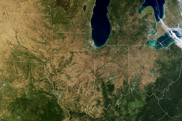
Falling For Corn Read more
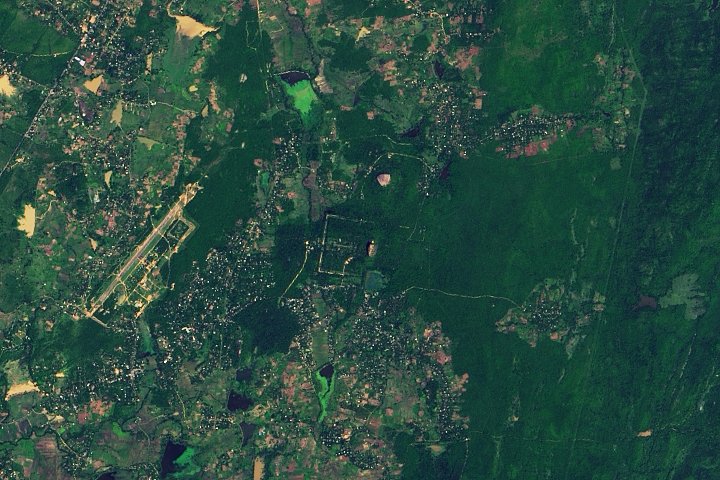
Sri Lanka’s Granite Fortress Read more
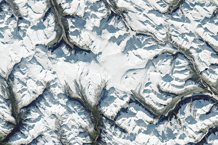
Northwest Ranges Make Rare Appearance Read more
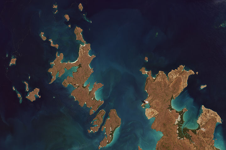
First Light from Landsat 9 Read more
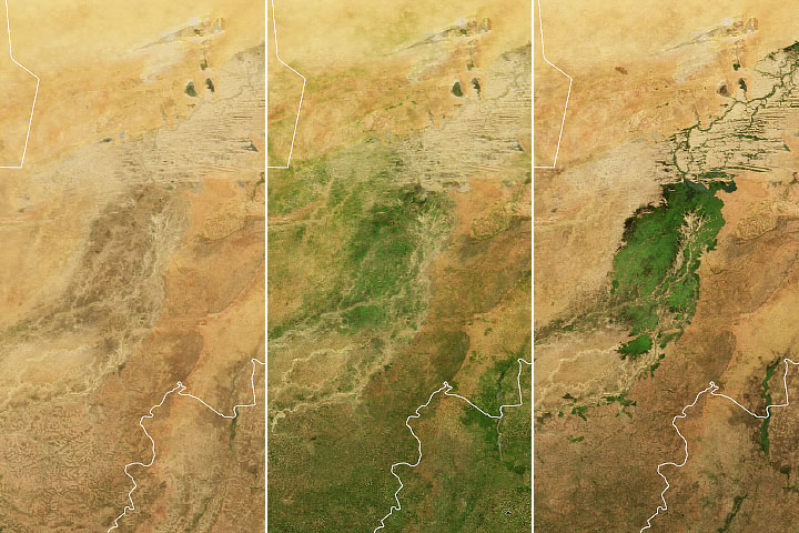
A Seasonal Emerald in the Sahel Read more
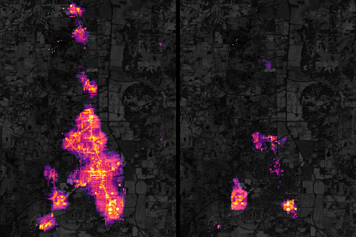
Nighttime Images Detail Kentucky Blackout Read more
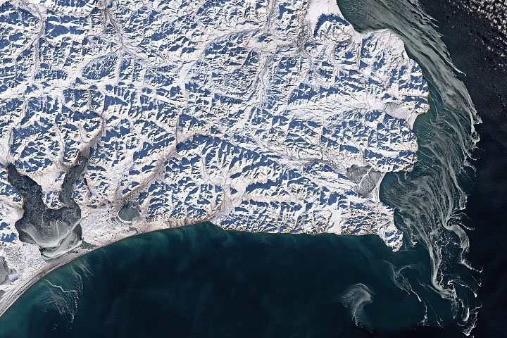
Sea Ice off Cape Navarin Read more
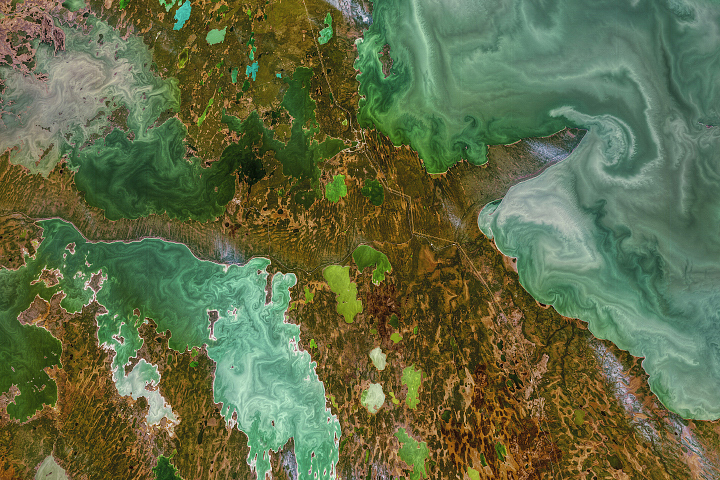
Ice Age Canadian Lakes Read more
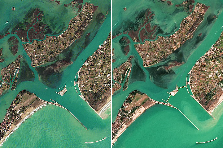
Venice Holds Back the Adriatic Sea Read more