The Landsat satellite record stretches from 1972 to the present. This gallery includes all Landsat images published on the Earth Observatory, Visible Earth, and Landsat Science web sites from all seven Landsat satellites (Landsats 1-8, Landsat 6 failed to achieve orbit). All of the images are in the public domain and may be used with attribution. The correct attribution for imagery obtained from this site is:
“Landsat imagery courtesy of NASA Goddard Space Flight Center and U.S. Geological Survey” or “USGS/NASA Landsat”
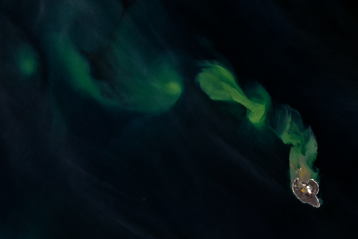
Bogoslof Begets Ash in the Bering Sea Read more
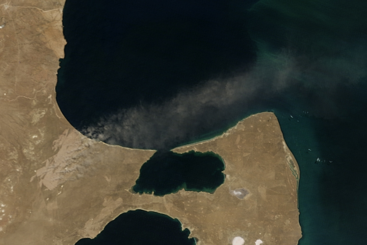
After Patagonian Fires, A Scar Remains Read more
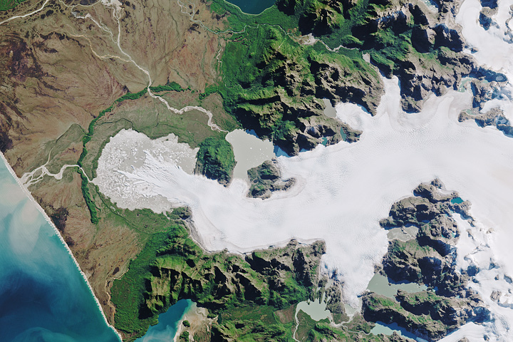
North Patagonian Icefield Read more
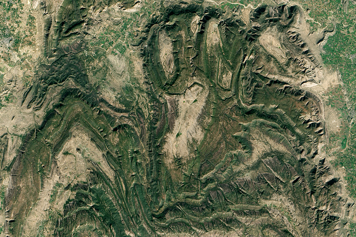
The Ancient Aravalli Range Read more
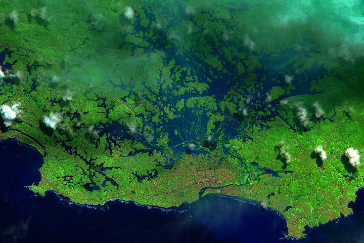
The Monsoon Inundates Sri Lanka Read more
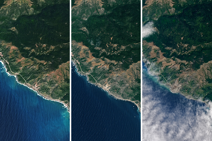
Landslide Buries Scenic California Highway Read more
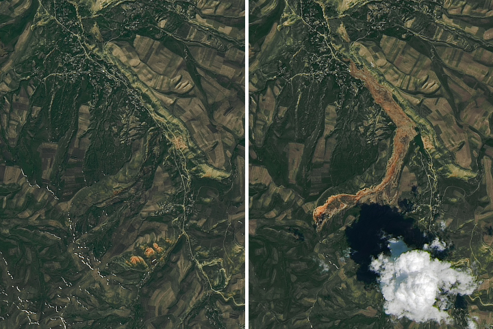
Landslide in Southern Kyrgyzstan Read more
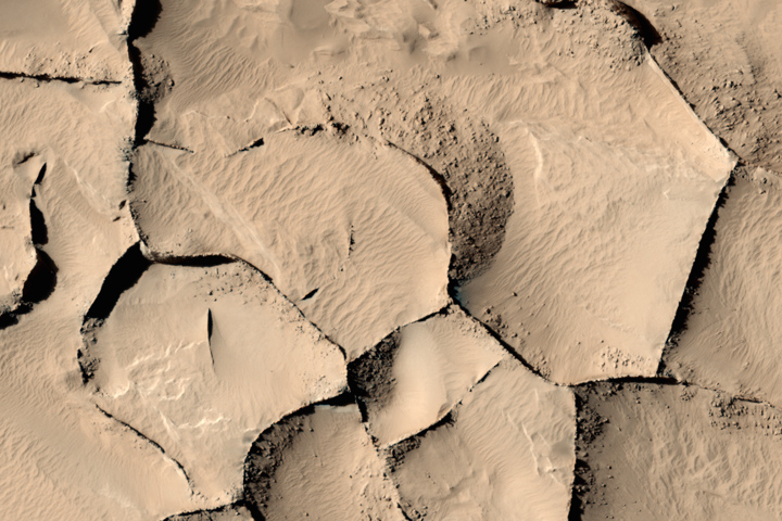
Distant Sisters from Mars and New Mexico Read more
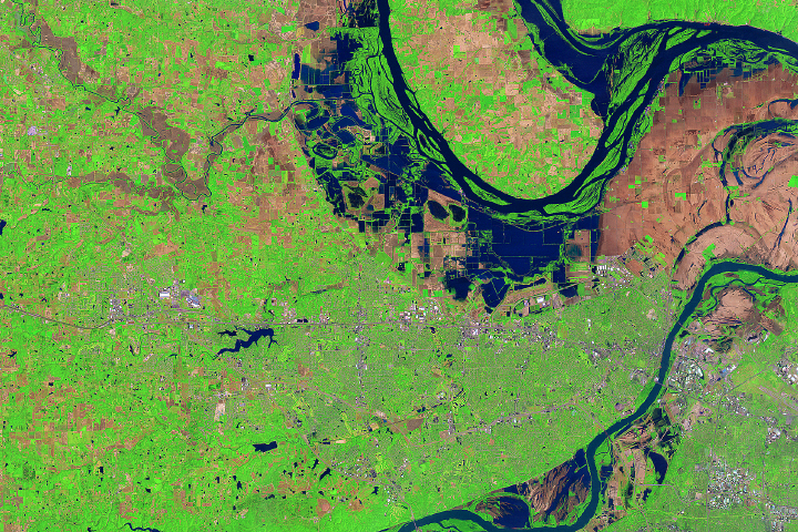
Flooding Near St. Peters, Missouri Read more