The Landsat satellite record stretches from 1972 to the present. This gallery includes all Landsat images published on the Earth Observatory, Visible Earth, and Landsat Science web sites from all seven Landsat satellites (Landsats 1-8, Landsat 6 failed to achieve orbit). All of the images are in the public domain and may be used with attribution. The correct attribution for imagery obtained from this site is:
“Landsat imagery courtesy of NASA Goddard Space Flight Center and U.S. Geological Survey” or “USGS/NASA Landsat”
Langley Turns 100 Read more
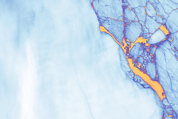
Landsat Spots Birth of Iceberg A-68 Read more
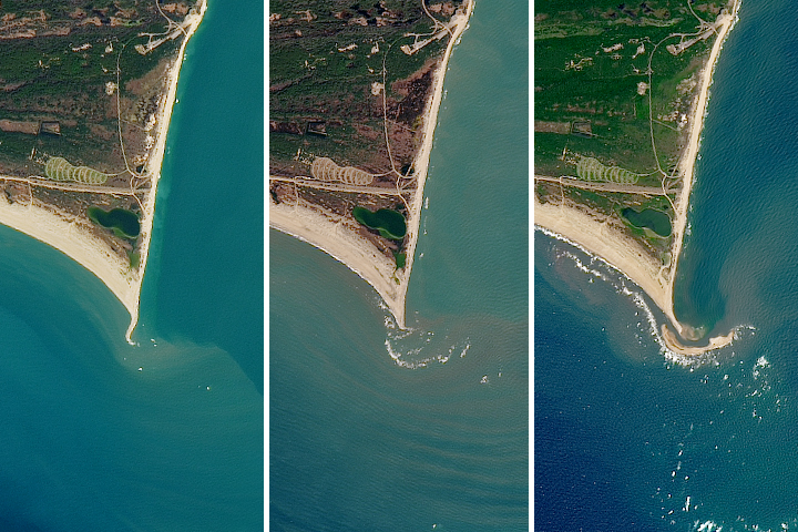
Island Rises Up off of Cape Hatteras Read more
A Stroke of Luck Read more
Winds Trigger Pond Growth Read more
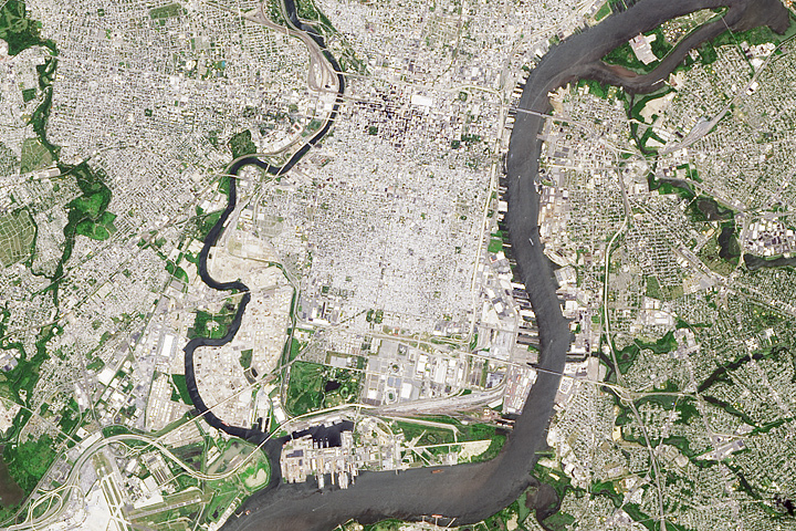
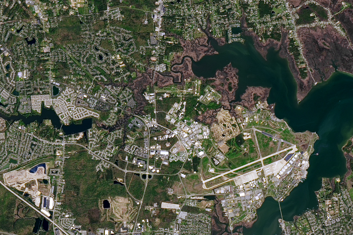
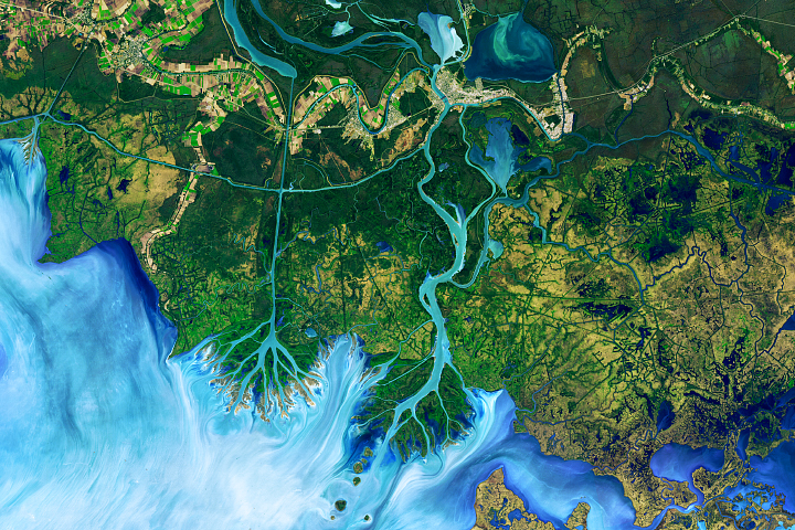
The Birthplace of the United States Read more
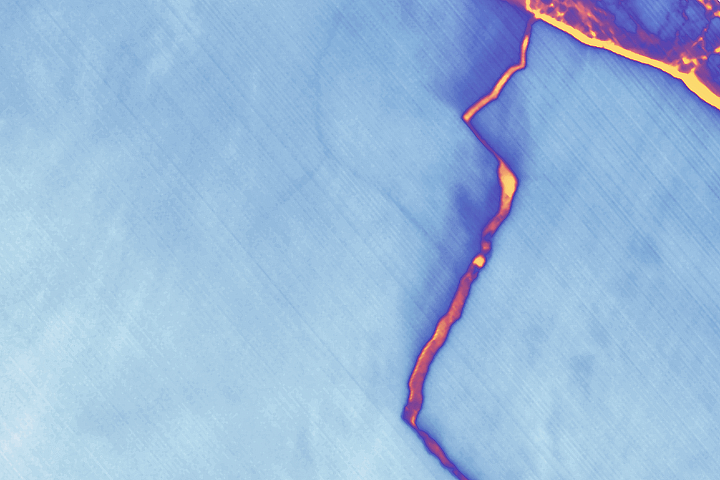
A Crack of Light in the Polar Dark Read more
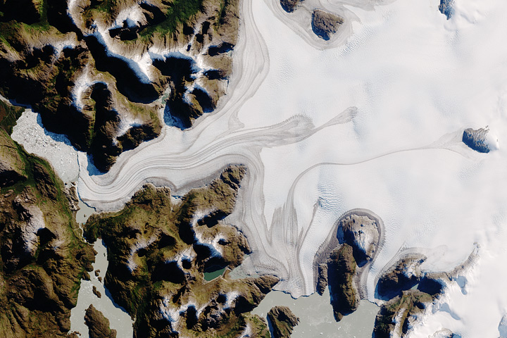
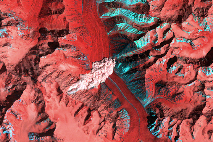
South Patagonian Icefield Read more
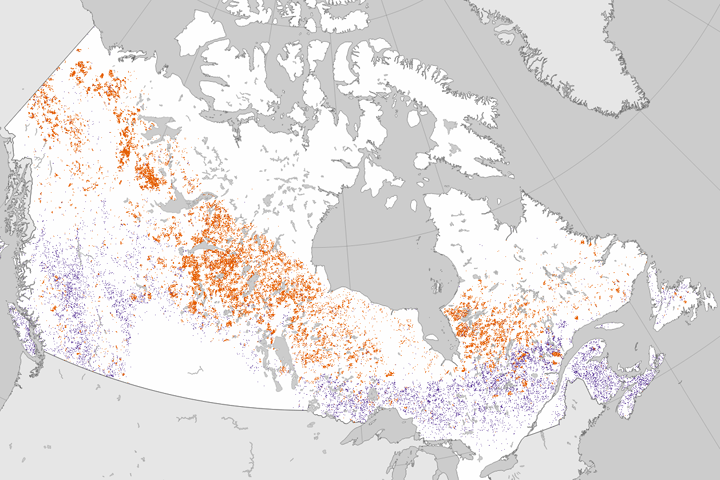
Tracking Forest Change in Canada Read more