The Landsat satellite record stretches from 1972 to the present. This gallery includes all Landsat images published on the Earth Observatory, Visible Earth, and Landsat Science web sites from all seven Landsat satellites (Landsats 1-8, Landsat 6 failed to achieve orbit). All of the images are in the public domain and may be used with attribution. The correct attribution for imagery obtained from this site is:
“Landsat imagery courtesy of NASA Goddard Space Flight Center and U.S. Geological Survey” or “USGS/NASA Landsat”
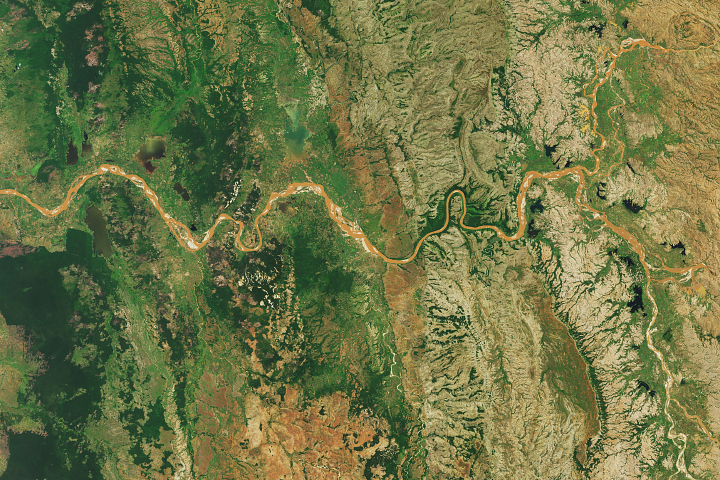
Madagascar’s Muddy Rivers Read more
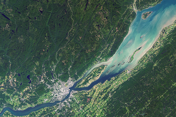
Old Europe Meets the New World Read more

The Dizzying Depths of Cotahuasi Canyon Read more
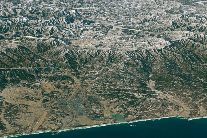
A View of the Winter Olympics from Above Read more
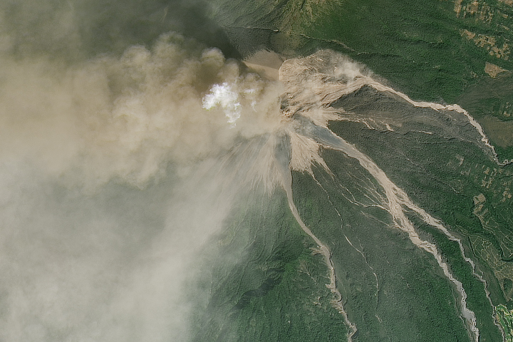
Fuego Erupts Read more
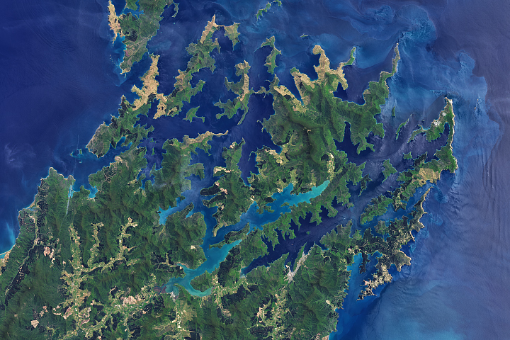
Making Waves in Marlborough Sounds Read more
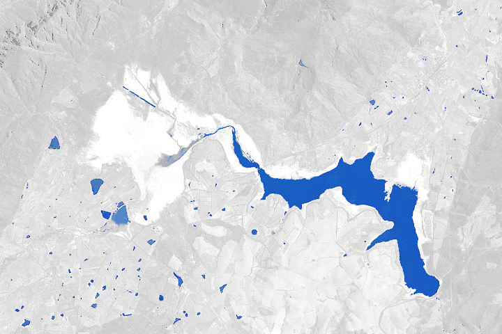
Cape Town’s Water is Running Out Read more
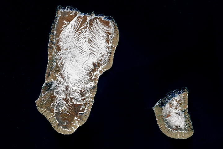
Yesterday and Tomorrow Islands Read more
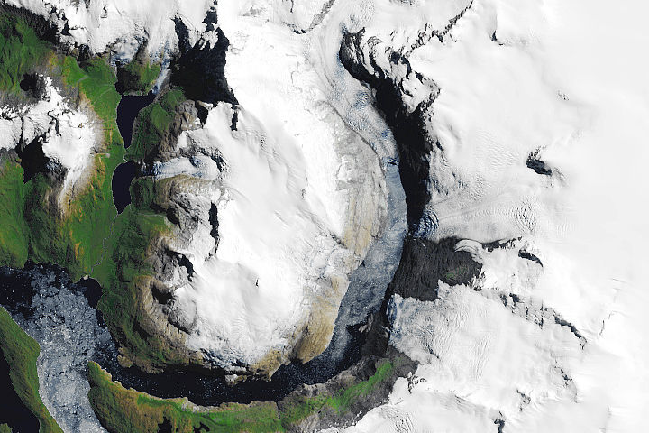
Glacial Retreat at a Non-glacial Pace Read more