The Landsat satellite record stretches from 1972 to the present. This gallery includes all Landsat images published on the Earth Observatory, Visible Earth, and Landsat Science web sites from all seven Landsat satellites (Landsats 1-8, Landsat 6 failed to achieve orbit). All of the images are in the public domain and may be used with attribution. The correct attribution for imagery obtained from this site is:
“Landsat imagery courtesy of NASA Goddard Space Flight Center and U.S. Geological Survey” or “USGS/NASA Landsat”
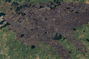
Burn Scar from the Pagami Creek Fire in Minnesota Read more
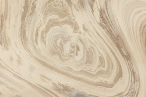
Iran’s Great Salt Desert Read more
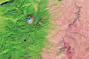
Oregon Rain Shadow Read more
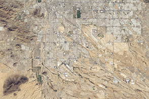
More City, Less Green in Tucson, Arizona Read more
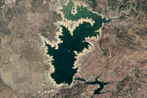
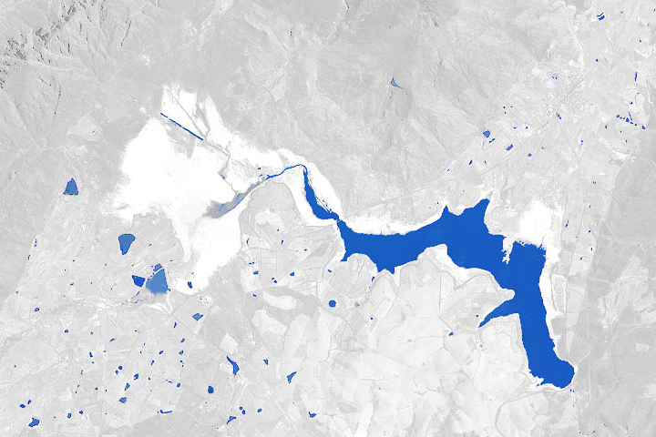
Ghost Shorelines of Buchanan Lake Read more
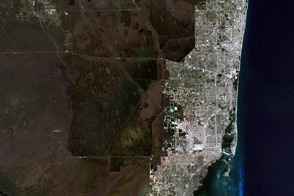
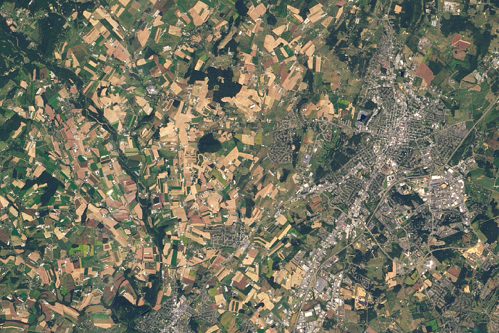
Florida Landscapes Read more
Cape Town’s Water is Running Out Read more
Virginia’s Volcanic Past Read more
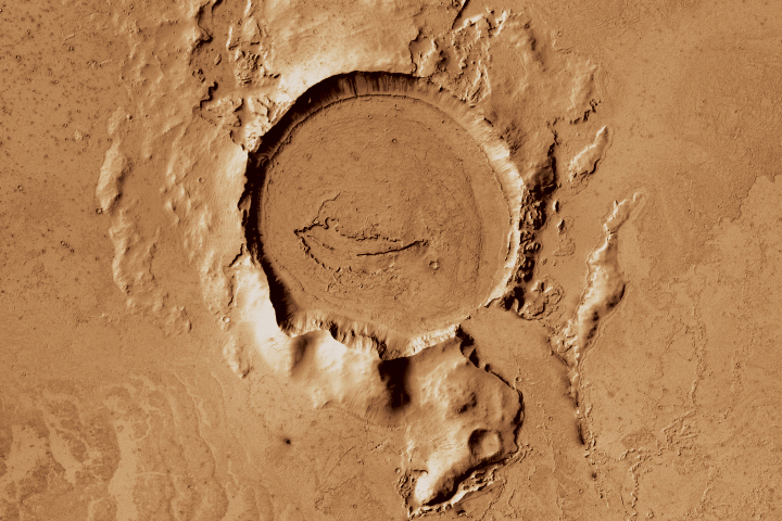
Flood Basalts on Mars and Iceland Read more