The Landsat satellite record stretches from 1972 to the present. This gallery includes all Landsat images published on the Earth Observatory, Visible Earth, and Landsat Science web sites from all seven Landsat satellites (Landsats 1-8, Landsat 6 failed to achieve orbit). All of the images are in the public domain and may be used with attribution. The correct attribution for imagery obtained from this site is:
“Landsat imagery courtesy of NASA Goddard Space Flight Center and U.S. Geological Survey” or “USGS/NASA Landsat”
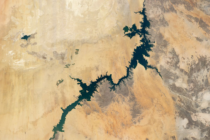
Fueled by the Nile Read more
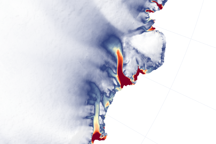
More Glaciers in East Antarctica Are Waking Up Read more
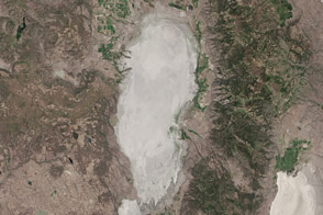
Goose Lake Dries Up Read more
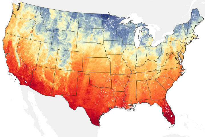
Temperatures Predict Bird Biodiversity Read more
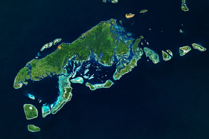
Island Hopping in Tawi-Tawi Read more
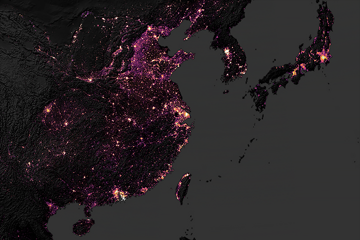
Sizing Up the Carbon Footprint of Cities Read more
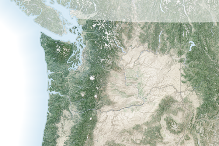
Channeled Scablands Read more
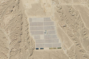
Solar in the Sahara Read more
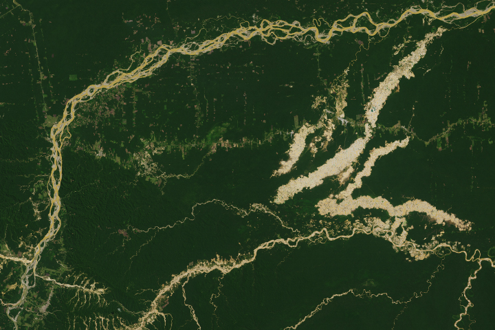
Tracking Peruvian Forest Loss from Space Read more