Fresh Ash on San Miguel Volcano
Downloads
- sanmiguel_ali_2014015_lrg.jpg (1600x1600, JPEG)
- sanmiguel_ali_2014015_geo.tif (GeoTIFF)
- sanmiguel_oli_2013212_lrg.jpg (1600x1600, JPEG)
- sanmiguel_oli_2013212_geo.tif (GeoTIFF)
- sanmiguel_ali_2014015.kml (KML)
Metadata
- Sensor(s):
- EO-1 - ALI
- Landsat 8 - OLI
- Data Date: January 15, 2014
- Visualization Date: January 20, 2014
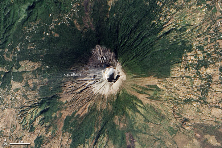
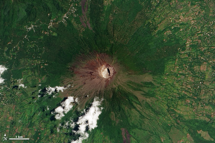
The eruption of El Salvador’s San Miguel volcano on December 29, 2013 left the summit coated in a veneer of ash. The Advanced Land Imager (ALI) on the Earth Observing-1 (EO-1) satellite collected a post-eruption image on January 15, 2014. The fresh, light gray ash rings the deep crater at the summit. An earlier natural-color image, collected by Landsat 8, shows the volcano and its immediate surroundings on July 31, 2013.
San Miguel is one of El Salvador’s most active volcanoes, with its last eruption in 2002. The December 2013 eruption sent a plume of ash about 9 kilometers (30,000 feet) into the atmosphere. The ash settled both on the slope of the volcano, as seen here, and on nearby towns, forcing 5,000 evacuations.
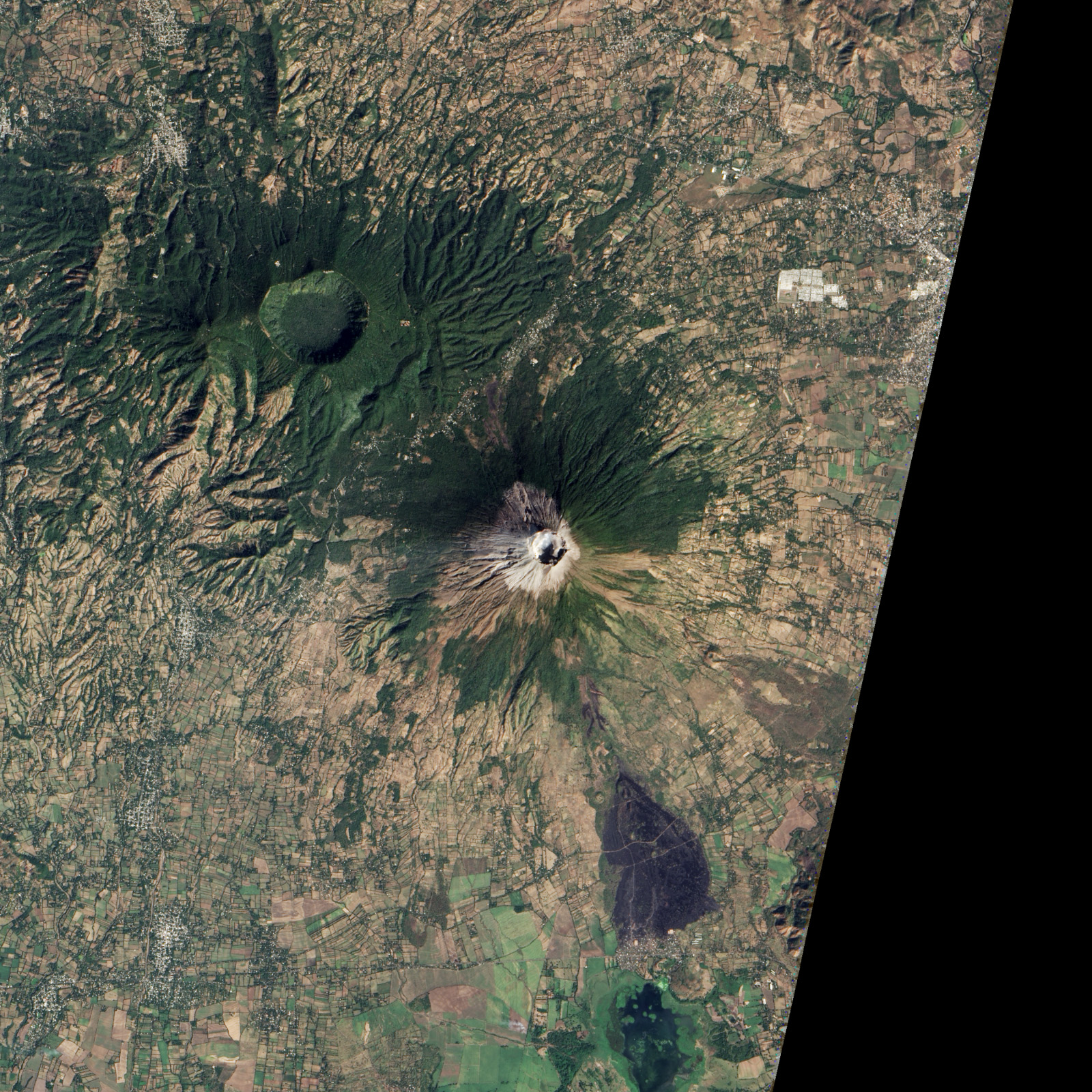
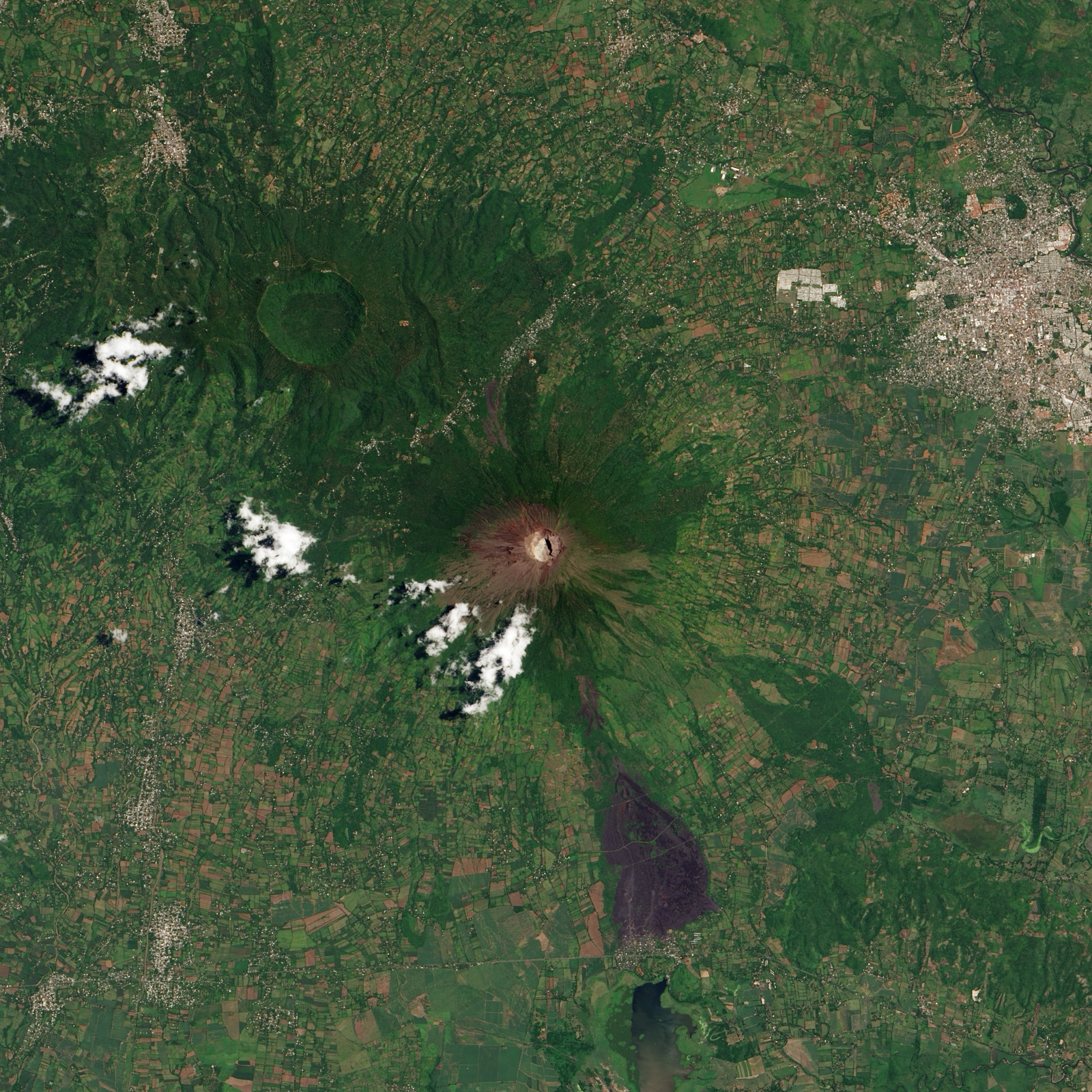
San Miguel’s distinctive symmetrical cone rises to an elevation of 2,130 meters (6,990 feet) and is capped with a large, deep summit crater. The volcano’s frequent eruptions fertilize the soil in the region, helping support the agricultural fields, particularly coffee plantations, that ring the mountain.
References
- Eruptions (2013, December 29) New explosive eruption from El Salvador’s San Miguel. Accessed January 23, 2014.
- Global Volcanism Program San Miguel. Smithsonian Museum of Natural History. Accessed January 23, 2014.
- Reuters (2013, December 29) El Salvador volcano erupts, evacuations ordered. Accessed January 23, 2014.
NASA Earth Observatory images by Jesse Allen and Robert Simmon, using EO-1 ALI data from the NASA EO-1 team and Landsat data from the USGS Earth Explorer. Caption by Robert Simmon and Holli Riebeek.
This image record originally appeared on the Earth Observatory. Click here to view the full, original record.