The Landsat satellite record stretches from 1972 to the present. This gallery includes all Landsat images published on the Earth Observatory, Visible Earth, and Landsat Science web sites from all seven Landsat satellites (Landsats 1-8, Landsat 6 failed to achieve orbit). All of the images are in the public domain and may be used with attribution. The correct attribution for imagery obtained from this site is:
“Landsat imagery courtesy of NASA Goddard Space Flight Center and U.S. Geological Survey” or “USGS/NASA Landsat”
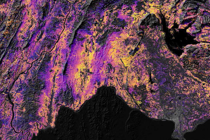
Shifting Cultivation in Laos Read more
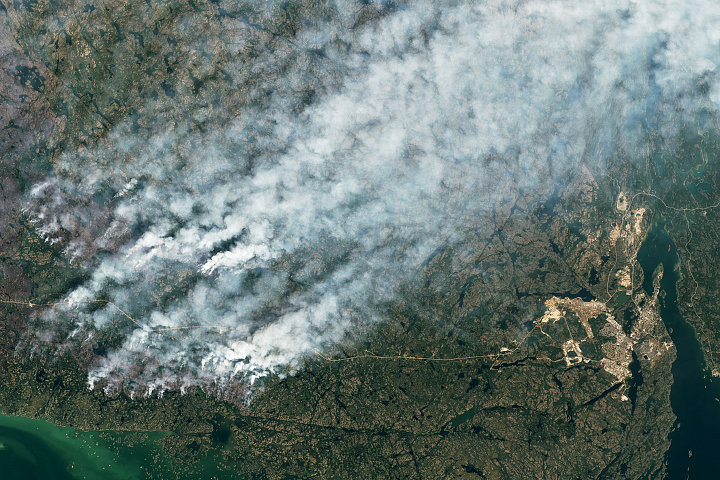
Wildfires Approach Yellowknife Read more
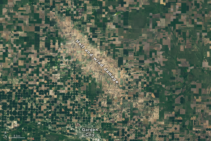
Winds and Hail Scar the Great Plains Read more
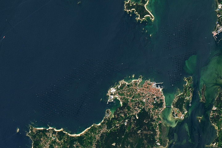
Mussel Rafts of the Rías de Arousa Read more
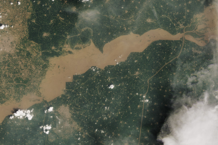
Flooding Along the Sutlej River in Punjab Read more
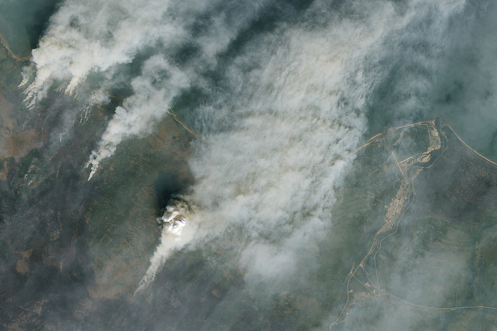
Wildfires Burn Near Hay River Read more
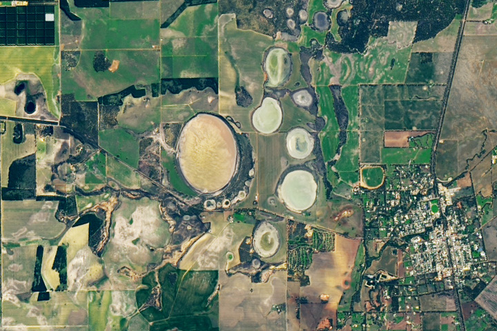
Circular Depressions Seep Hydrogen Gas Read more
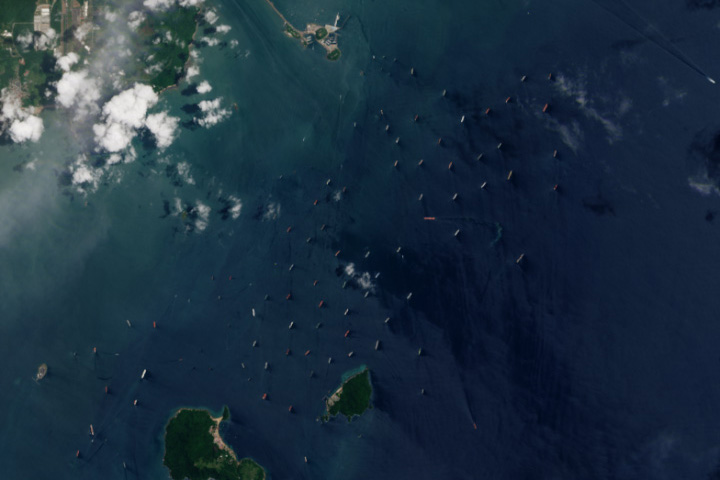
Panama Canal Traffic Backup Read more
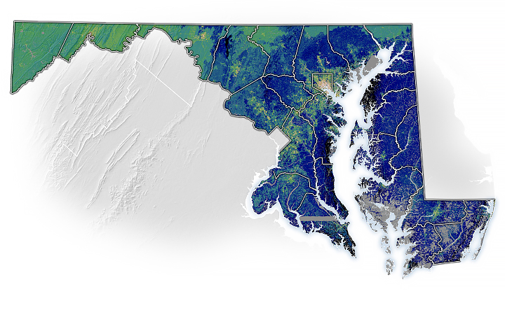
The Best Places to Plant Trees in Maryland Read more