The Landsat satellite record stretches from 1972 to the present. This gallery includes all Landsat images published on the Earth Observatory, Visible Earth, and Landsat Science web sites from all seven Landsat satellites (Landsats 1-8, Landsat 6 failed to achieve orbit). All of the images are in the public domain and may be used with attribution. The correct attribution for imagery obtained from this site is:
“Landsat imagery courtesy of NASA Goddard Space Flight Center and U.S. Geological Survey” or “USGS/NASA Landsat”
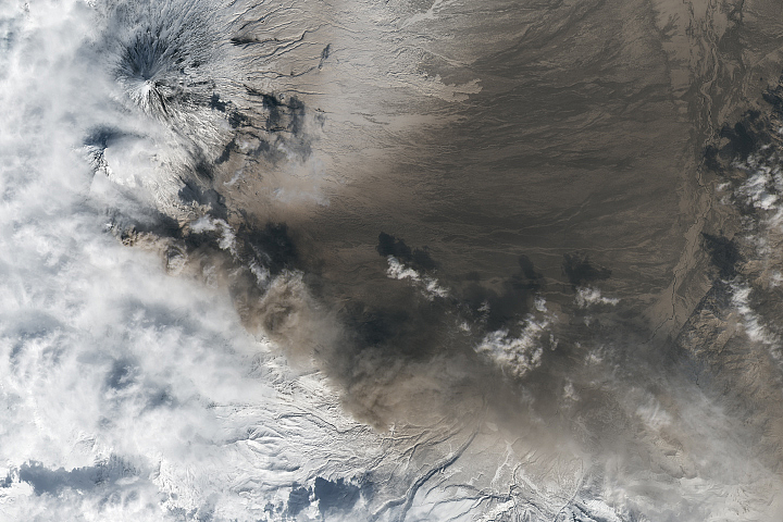
Kamchatka Erupts Read more
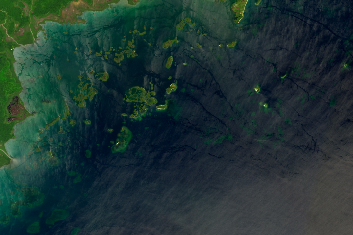
Port Honduras Marine Reserve Read more
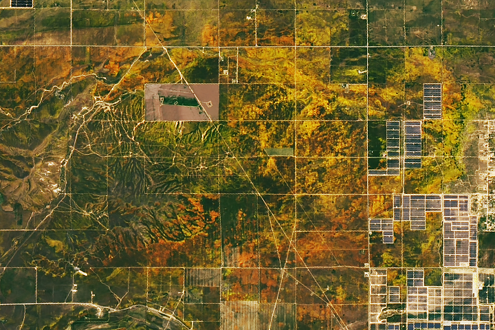
A Parade of Poppies Read more
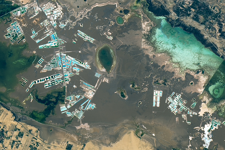
A Salty Desert Retreat Read more
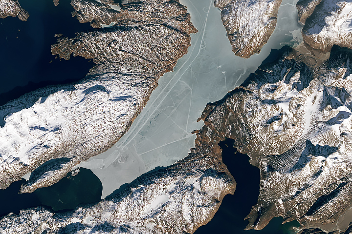
Curious Tracks Criss-Cross an Icy Fjord Read more
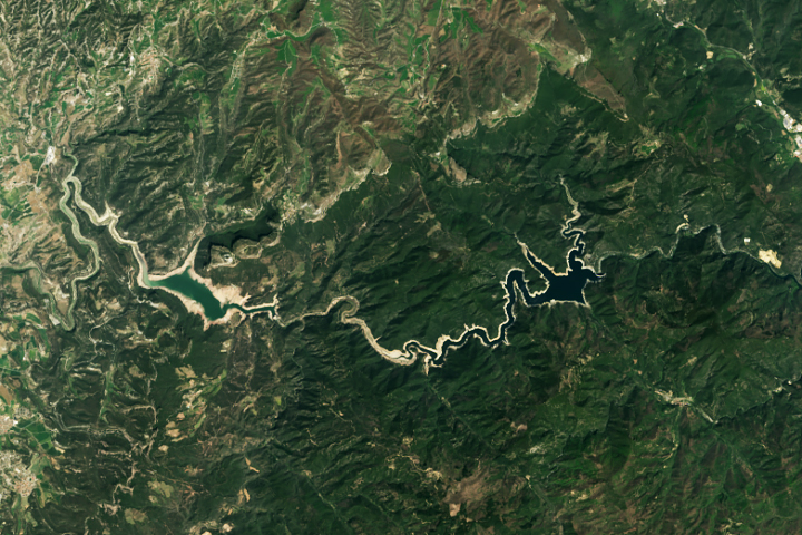
Shrinking Reservoirs in Catalonia Read more

Bloomin’ Atlantic Read more
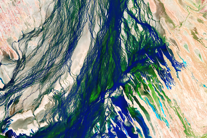
Seasonal Flooding of the Diamantina River Read more
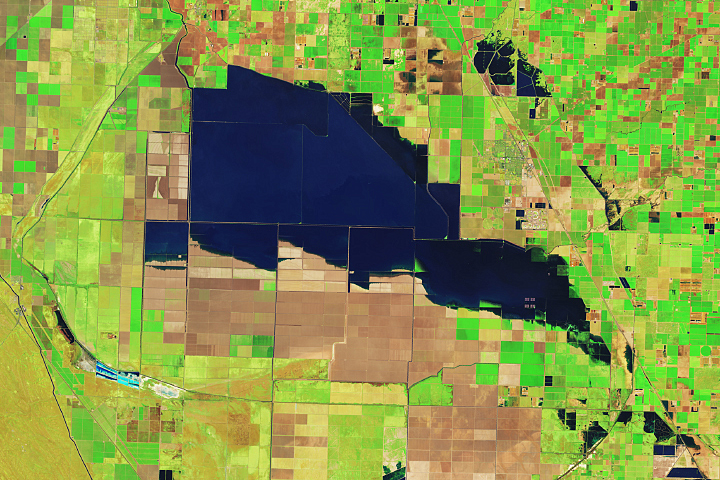
Tulare Lake Grows Read more