The Landsat satellite record stretches from 1972 to the present. This gallery includes all Landsat images published on the Earth Observatory, Visible Earth, and Landsat Science web sites from all seven Landsat satellites (Landsats 1-8, Landsat 6 failed to achieve orbit). All of the images are in the public domain and may be used with attribution. The correct attribution for imagery obtained from this site is:
“Landsat imagery courtesy of NASA Goddard Space Flight Center and U.S. Geological Survey” or “USGS/NASA Landsat”
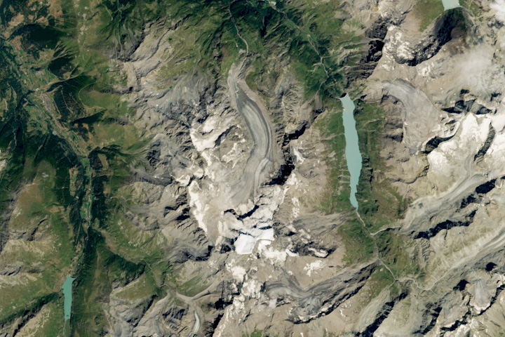
A Climate Archive Melts Read more
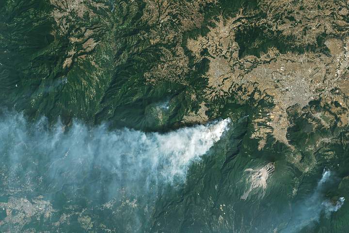
Fires in Guatemala Read more
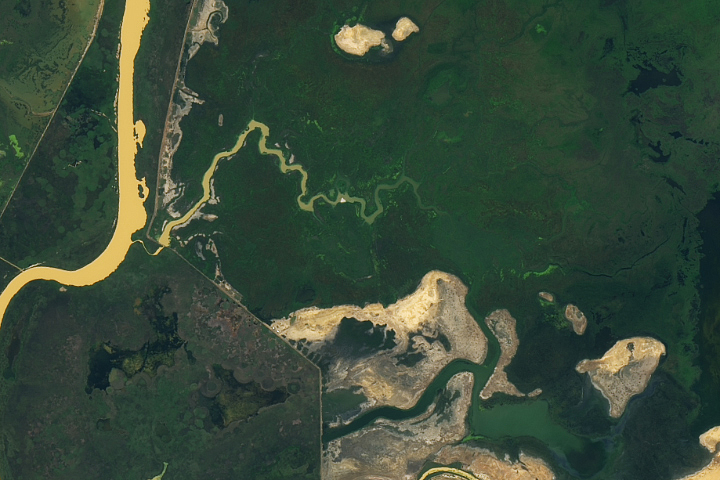
An Oasis of Green in Senegal Read more
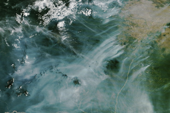
Amazon Forest Fires Rage in Roraima Read more
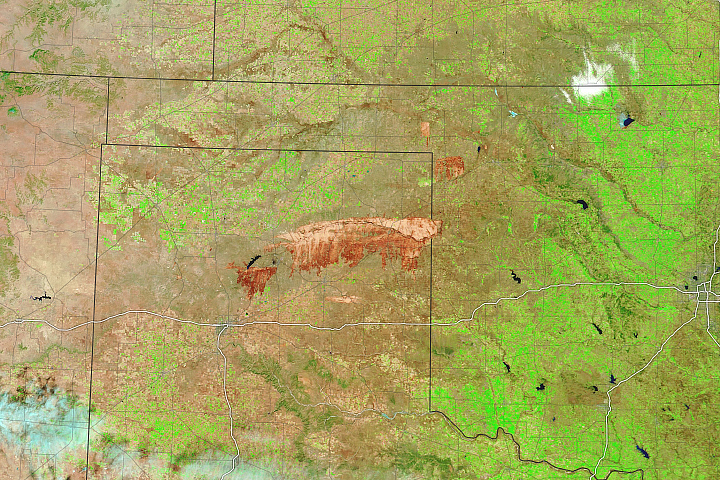
Fires Char Cattle Country Read more
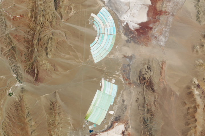
Mining Lithium in Argentina Read more
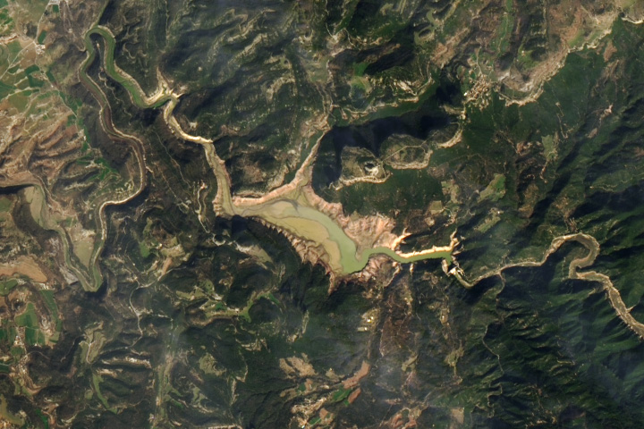
Sau Reservoir Dries Up Read more
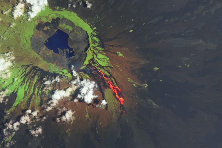
An Eruption for Galápagos Iguanas Read more
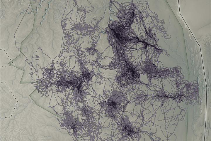
Animals as Earth System Observers Read more