The Landsat satellite record stretches from 1972 to the present. This gallery includes all Landsat images published on the Earth Observatory, Visible Earth, and Landsat Science web sites from all seven Landsat satellites (Landsats 1-8, Landsat 6 failed to achieve orbit). All of the images are in the public domain and may be used with attribution. The correct attribution for imagery obtained from this site is:
“Landsat imagery courtesy of NASA Goddard Space Flight Center and U.S. Geological Survey” or “USGS/NASA Landsat”

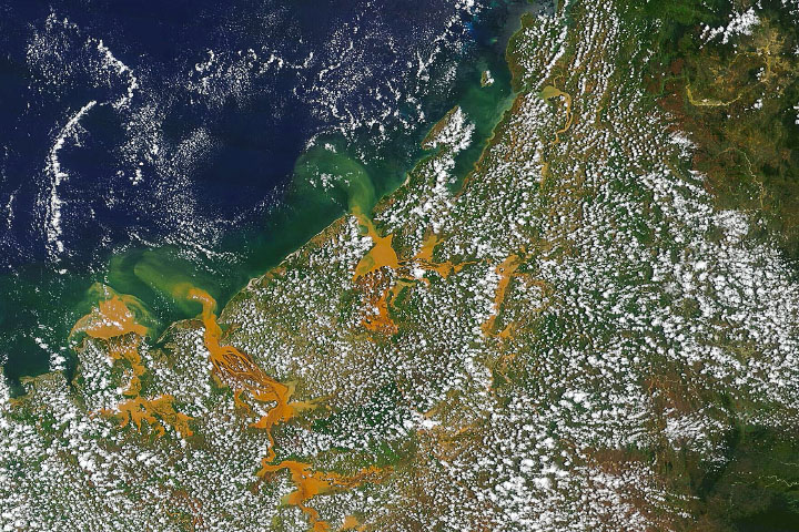
Mysteries Remain About Bahama Whiting Events Read more
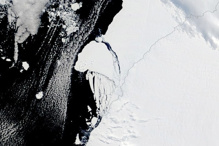
Antarctica’s Brunt Ice Shelf Finally Breaks Read more
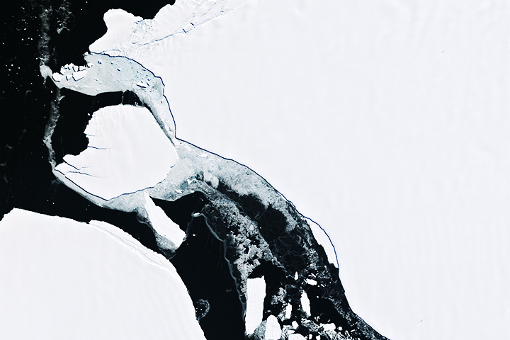
Antarctic Iceberg on the Move Read more
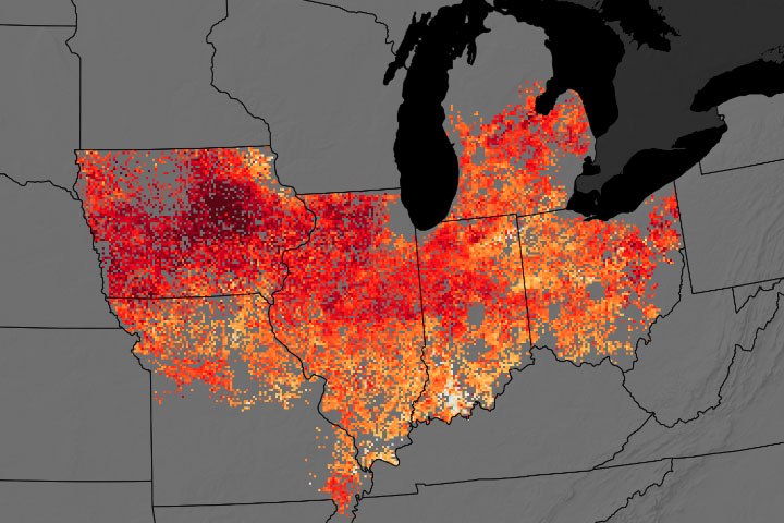
Midwest Farmers Using Cover Crops Take Small Yield Hit Read more
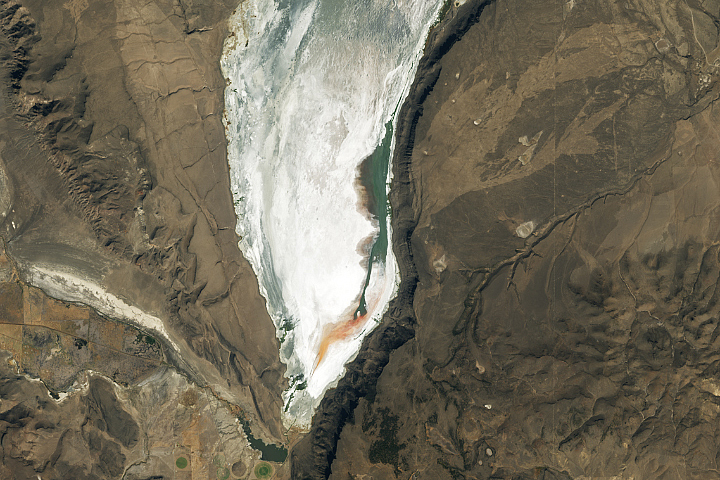
Shrinking Lake Abert Read more

Wintry Dunes on Earth and Mars Read more
Cheneso Floods Madagascar Read more
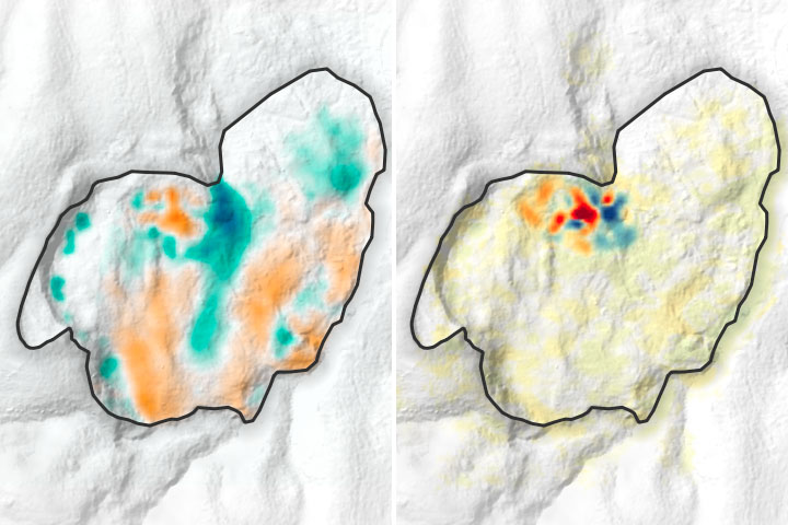
Landslide Creeping Below an African City Read more
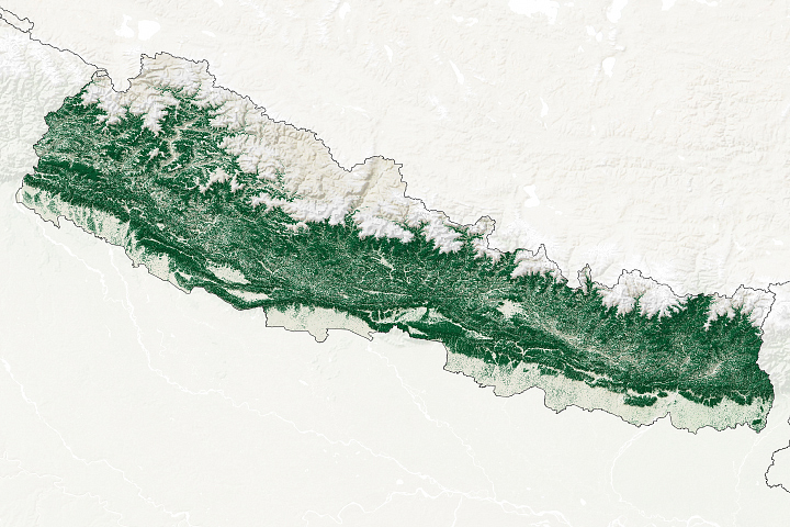
How Nepal Regenerated Its Forests Read more