The Landsat satellite record stretches from 1972 to the present. This gallery includes all Landsat images published on the Earth Observatory, Visible Earth, and Landsat Science web sites from all seven Landsat satellites (Landsats 1-8, Landsat 6 failed to achieve orbit). All of the images are in the public domain and may be used with attribution. The correct attribution for imagery obtained from this site is:
“Landsat imagery courtesy of NASA Goddard Space Flight Center and U.S. Geological Survey” or “USGS/NASA Landsat”
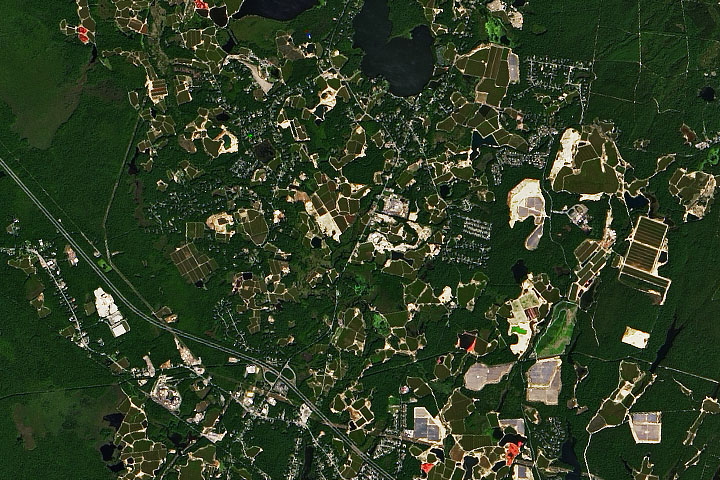
Cranberry Bogs in Plymouth County Read more
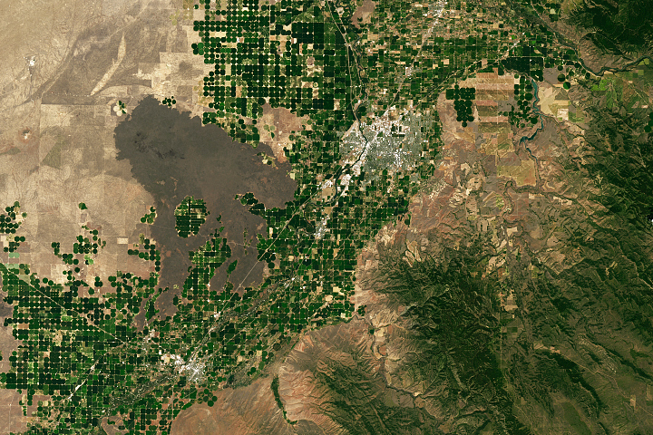
Idaho’s Potato Belt Read more
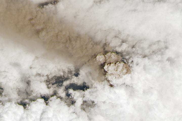
A Line of Ash from Sangay Read more
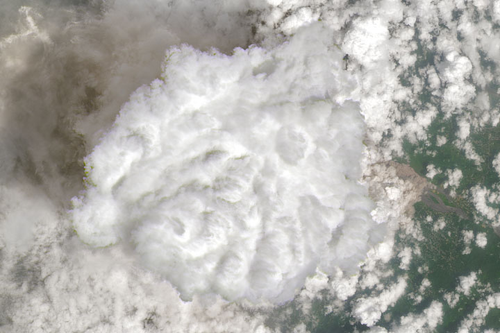
A Burst of Activity at Mount Semeru Read more
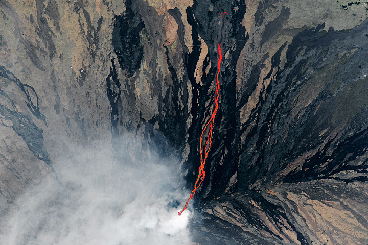
Living the Lava Life on Mauna Loa Read more
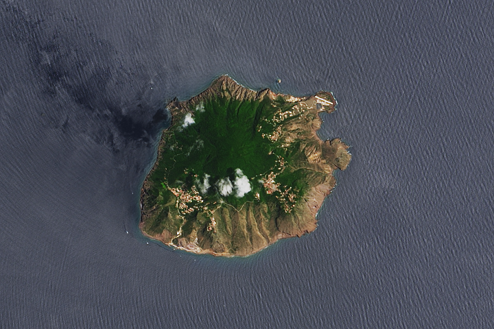
Saba Island Read more
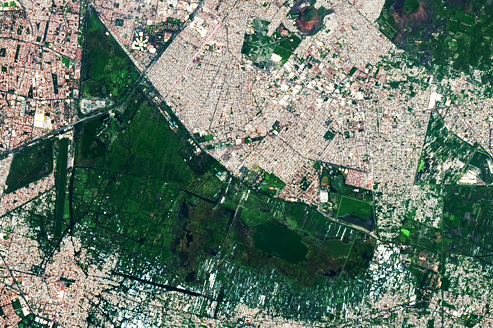
Relic Chinampas in Mexico City Read more
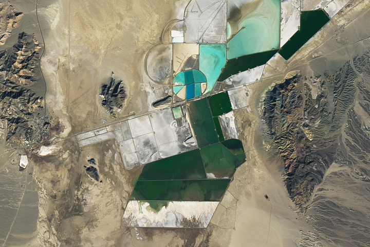
Racing to Mine Lithium Read more
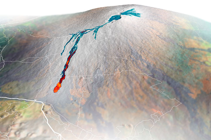
Sizing up Mauna Loa’s Lava Flows Read more