The Landsat satellite record stretches from 1972 to the present. This gallery includes all Landsat images published on the Earth Observatory, Visible Earth, and Landsat Science web sites from all seven Landsat satellites (Landsats 1-8, Landsat 6 failed to achieve orbit). All of the images are in the public domain and may be used with attribution. The correct attribution for imagery obtained from this site is:
“Landsat imagery courtesy of NASA Goddard Space Flight Center and U.S. Geological Survey” or “USGS/NASA Landsat”

Mapping Forest Loss with Landsat Read more
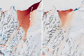
Last Call for Larsen B Read more
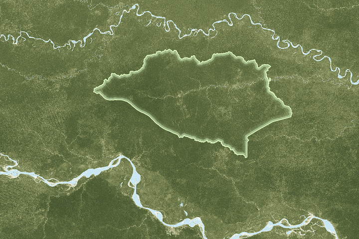
Peru’s Newest National Park Read more
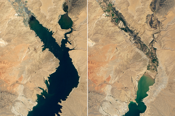
Lake Mead Drops to a Record Low Read more
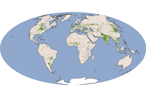
Sustaining Seven Billion People Read more
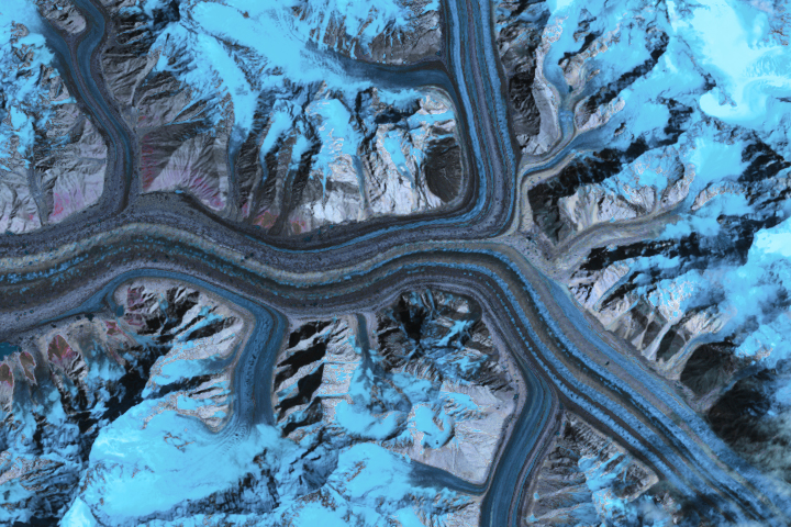
Ice Loss Slows Down Asian Glaciers Read more
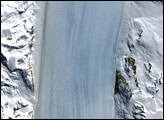
Byrd Glacier, Antarctica Read more
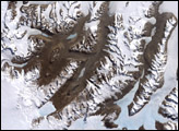
McMurdo Dry Valleys Read more
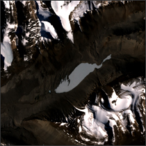
Lake Vanda, Antarctica Read more