The Landsat satellite record stretches from 1972 to the present. This gallery includes all Landsat images published on the Earth Observatory, Visible Earth, and Landsat Science web sites from all seven Landsat satellites (Landsats 1-8, Landsat 6 failed to achieve orbit). All of the images are in the public domain and may be used with attribution. The correct attribution for imagery obtained from this site is:
“Landsat imagery courtesy of NASA Goddard Space Flight Center and U.S. Geological Survey” or “USGS/NASA Landsat”

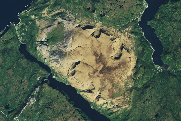
From Russia with Questions Read more
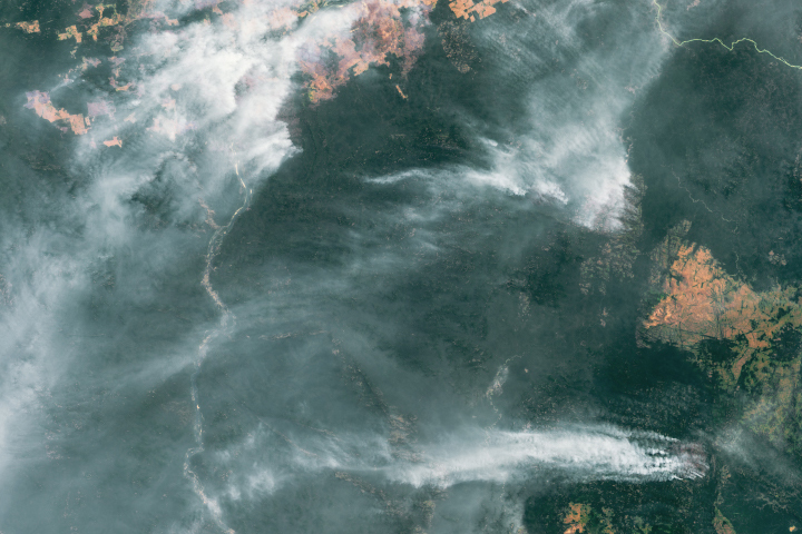
Fires Raged in the Amazon Again in 2020 Read more
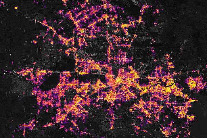
Extreme Winter Weather Causes U.S. Blackouts Read more
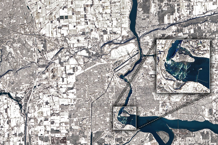
Winter Along the Niagara River Read more
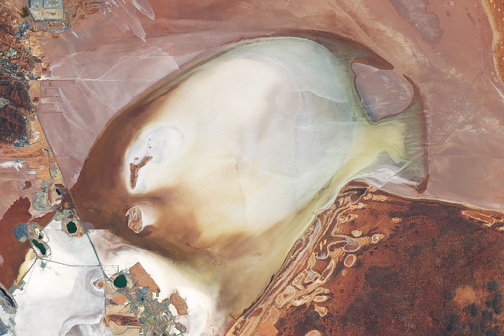
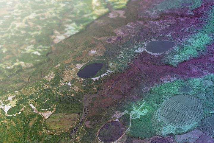
A Watery Day for Lake Lefroy Read more
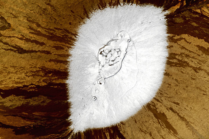
A Short Journey to the Center of the Earth Read more
Ice Age Carolinas Read more
Trading Surfboards for Snowboards Read more
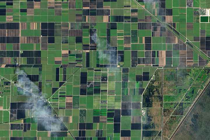
Smoking Sugar Fields in South Florida Read more