The Landsat satellite record stretches from 1972 to the present. This gallery includes all Landsat images published on the Earth Observatory, Visible Earth, and Landsat Science web sites from all seven Landsat satellites (Landsats 1-8, Landsat 6 failed to achieve orbit). All of the images are in the public domain and may be used with attribution. The correct attribution for imagery obtained from this site is:
“Landsat imagery courtesy of NASA Goddard Space Flight Center and U.S. Geological Survey” or “USGS/NASA Landsat”
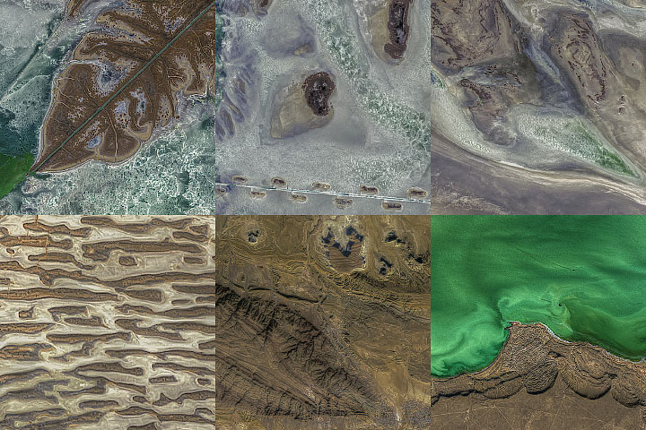
Textures Around the North Caspian Read more
Ice Age Carolinas Read more
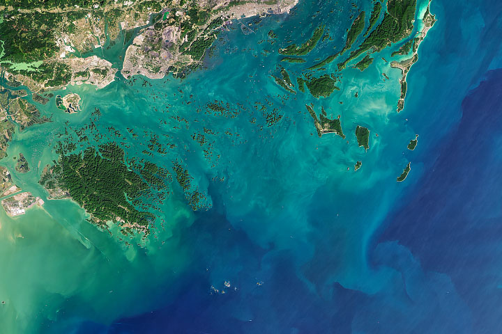
Bai Tu Long Bay Read more

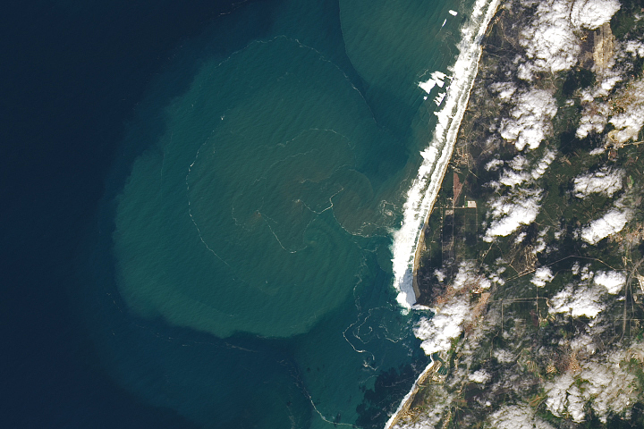
Early Melting Along the Antarctic Peninsula Read more
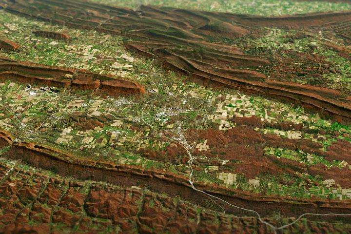
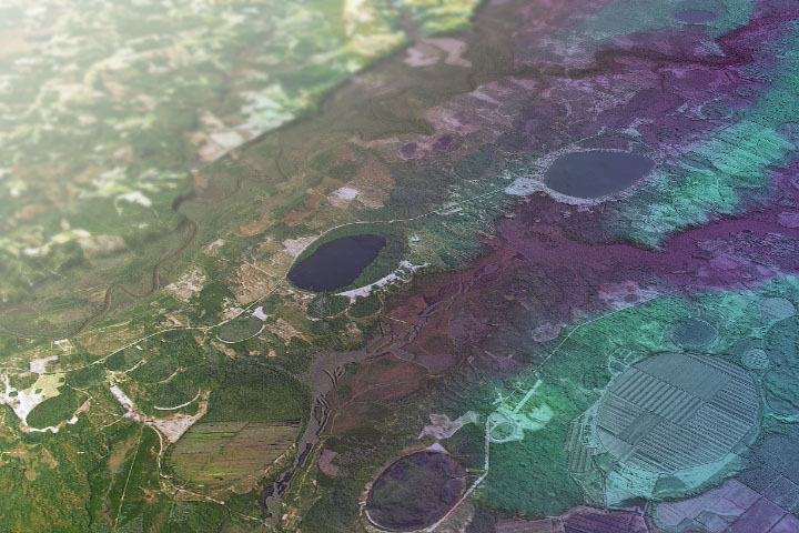
Painting Pennsylvania Hills Read more
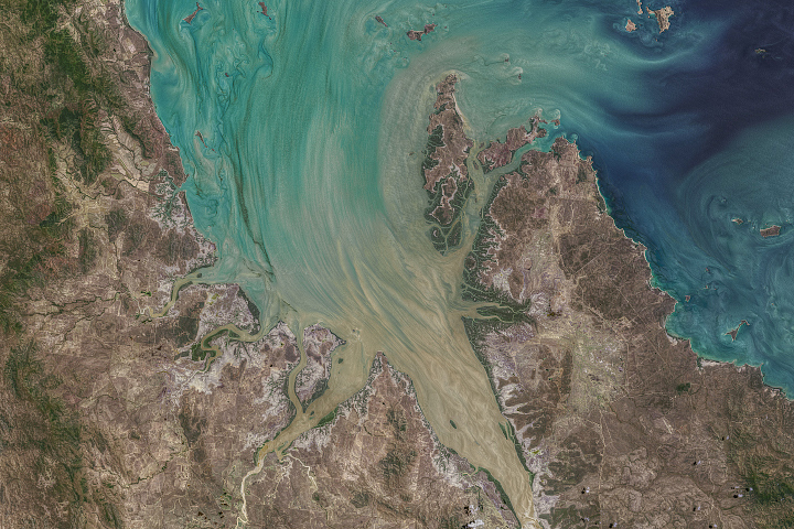
Tremendous Tides in Broad Sound Read more
Monster Waves of Nazaré Read more
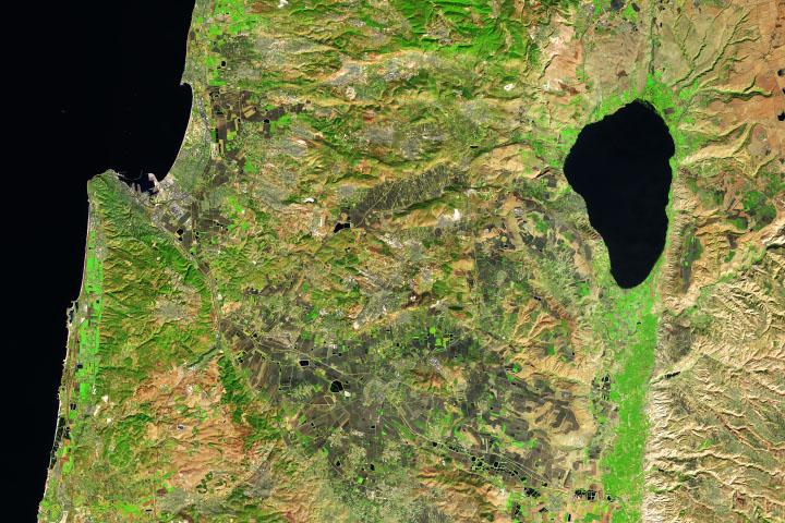
Sea of Galilee Read more
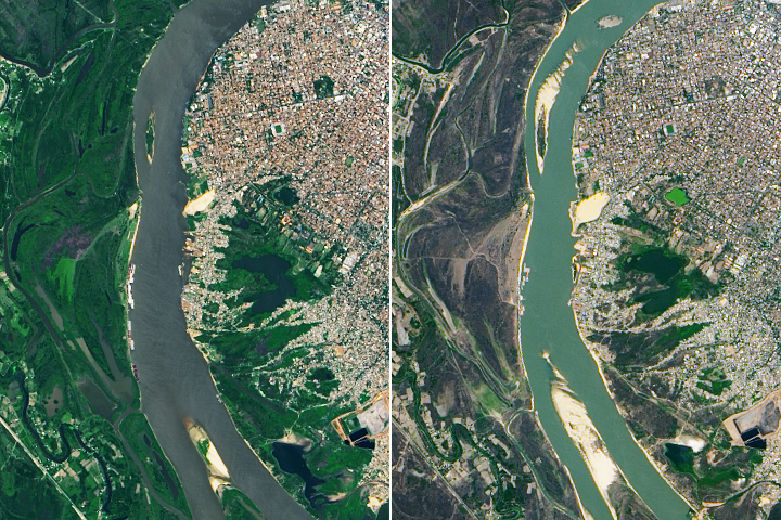
Severe Drought in South America Read more