The Landsat satellite record stretches from 1972 to the present. This gallery includes all Landsat images published on the Earth Observatory, Visible Earth, and Landsat Science web sites from all seven Landsat satellites (Landsats 1-8, Landsat 6 failed to achieve orbit). All of the images are in the public domain and may be used with attribution. The correct attribution for imagery obtained from this site is:
“Landsat imagery courtesy of NASA Goddard Space Flight Center and U.S. Geological Survey” or “USGS/NASA Landsat”
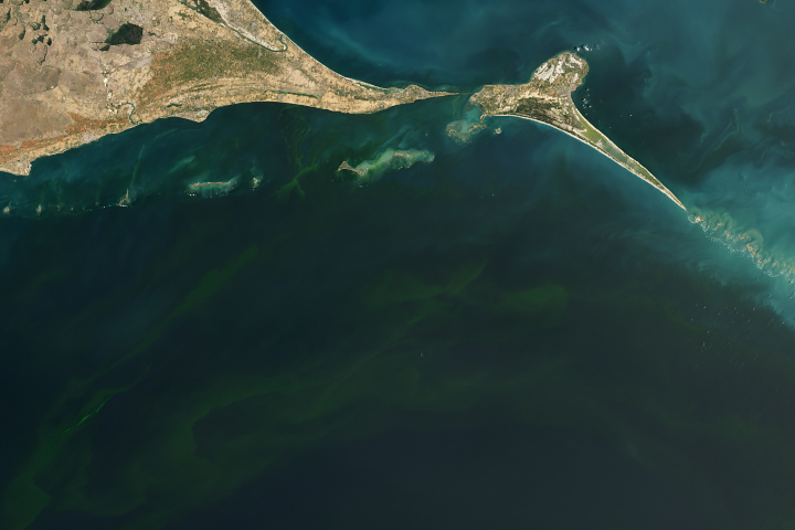
Deadly Blooms in the Gulf of Mannar Read more
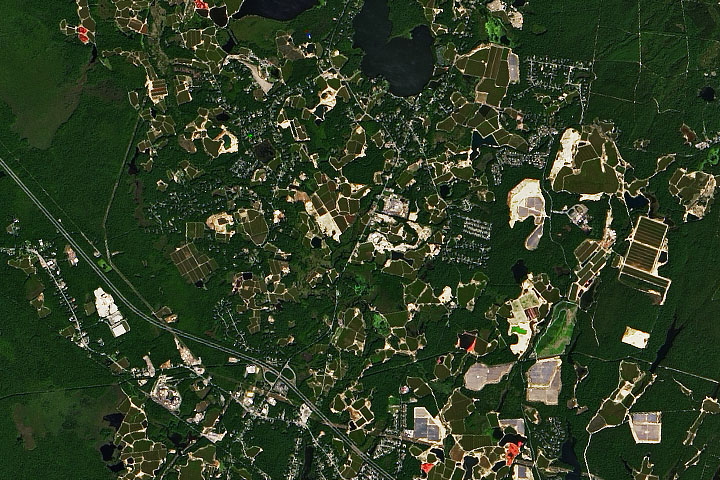
Cranberry Bogs in Plymouth County Read more
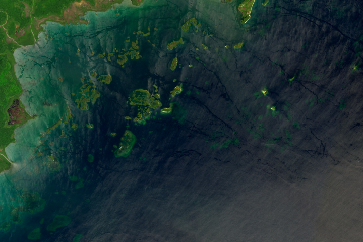
Port Honduras Marine Reserve Read more
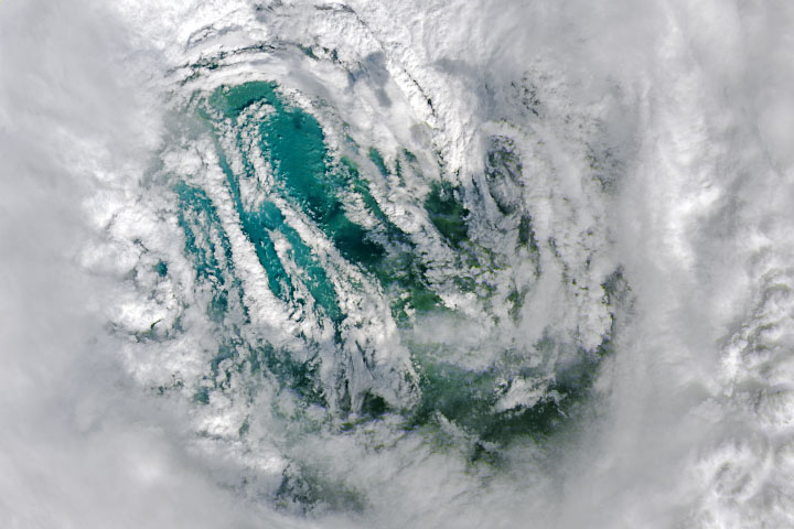
Staring Into Ian’s Eye Read more
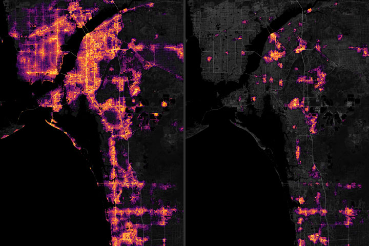
Power Outages after Hurricane Ian Read more
Nishinoshima Clears Its Throat Read more
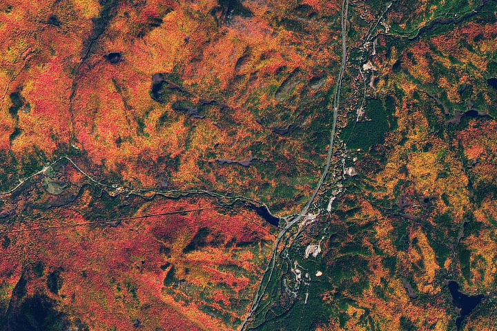
Autumn in the Adirondacks Read more

Drought on the Rio Negro Read more
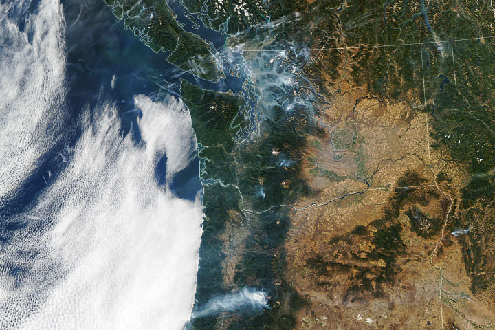
Late-Season Fires in the Pacific Northwest Read more