acquired March 15, 1993
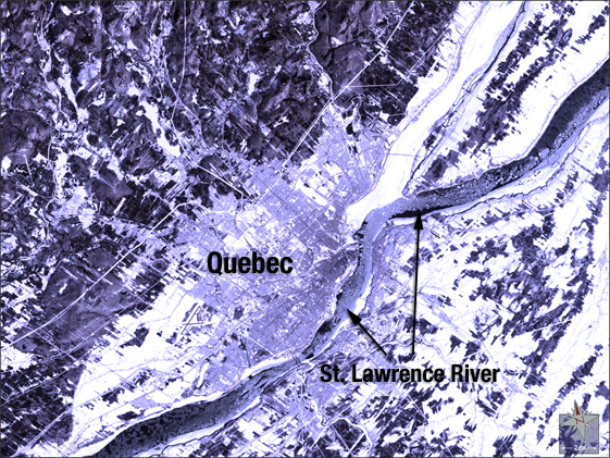
Quebec Blizzard
Downloads
- Blizzard.tif (2670x2483, TIFF)
Metadata
- Sensor(s):
- Landsat 5 - TM
- Data Date: March 15, 1993
- Visualization Date: October 8, 2009
Landsat 5 captured this natural-color image of Quebec just after the Great Blizzard of March 1993, a nor'easter also called the "white hurricane." The storm brought heavy precipitation, severe winds, and freezing temperatures to an area stretching from Northern Florida to Eastern Canada.
NASA GSFC Landsat/LDCM EPO Team