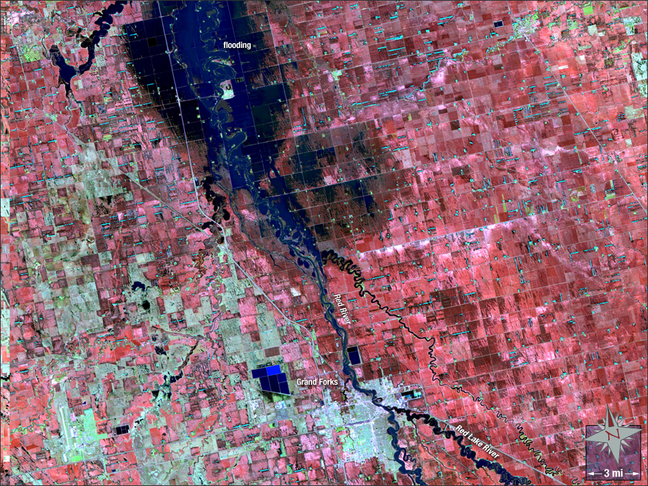
acquired May 4, 1997
Flooding in the Heartland
Downloads
- 1997_Red_River.tif (TIFF)
Metadata
- Sensor(s):
- Landsat 5 - TM
- Data Date: May 4, 1997
- Visualization Date: May 21, 2012
This false-color image of Grand Forks, North Dakota, was acquired on May 4, 1997, just after the Red River flood inundated the area. 50,000 people had to be evacuated, and damages exceeded $3 billion.
NASA GSFC Landsat/LDCM EPO Team