The Landsat satellite record stretches from 1972 to the present. This gallery includes all Landsat images published on the Earth Observatory, Visible Earth, and Landsat Science web sites from all seven Landsat satellites (Landsats 1-8, Landsat 6 failed to achieve orbit). All of the images are in the public domain and may be used with attribution. The correct attribution for imagery obtained from this site is:
“Landsat imagery courtesy of NASA Goddard Space Flight Center and U.S. Geological Survey” or “USGS/NASA Landsat”
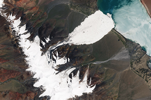
Massive and Mysterious Ice Avalanche in Tibet Read more
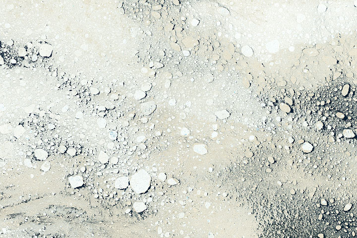
A Different Shade of Ice Read more
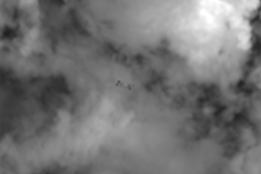
An Unlikely Eye on Orbiting Objects Read more
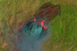
Cedar Fire, Arizona Read more
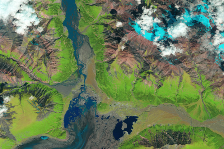
River Piracy in the Yukon Read more
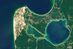
Sleeping Bear Dunes National Lakeshore Read more
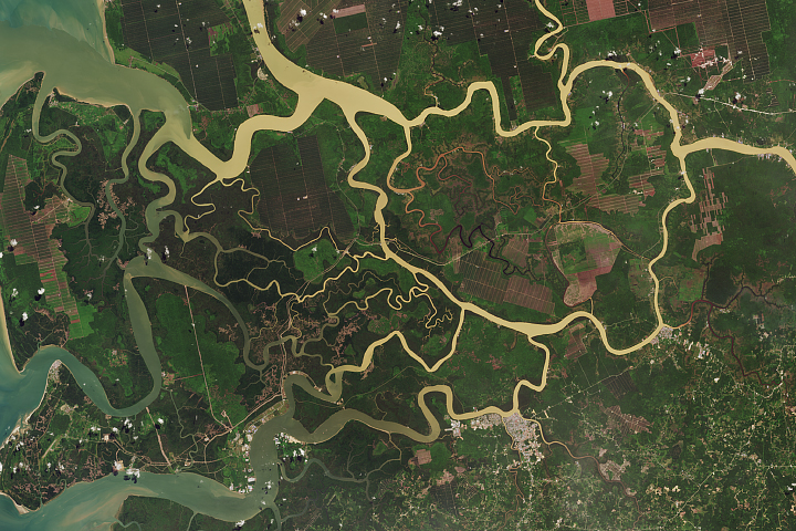
Sarawak’s Rajang River Delta Read more
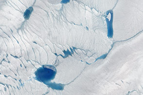
Early Melt on the Greenland Ice Sheet Read more
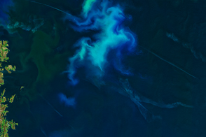
Phytoplankton in the North Sea Read more