The Landsat satellite record stretches from 1972 to the present. This gallery includes all Landsat images published on the Earth Observatory, Visible Earth, and Landsat Science web sites from all seven Landsat satellites (Landsats 1-8, Landsat 6 failed to achieve orbit). All of the images are in the public domain and may be used with attribution. The correct attribution for imagery obtained from this site is:
“Landsat imagery courtesy of NASA Goddard Space Flight Center and U.S. Geological Survey” or “USGS/NASA Landsat”
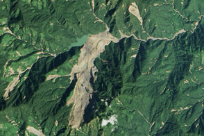
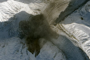
Satellite Spots Massive Tonzang Landslide Read more
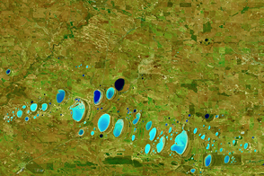
Colorful Salt Lakes in Western Australia Read more
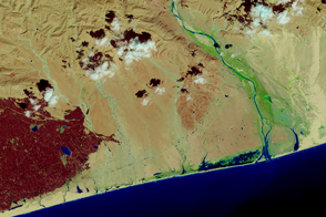
Chapala Drenches the Desert Read more
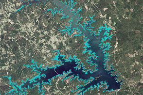
Mapping a Tenacious Invader in Lake Thurmond Read more
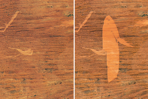
A Desert Landscape Scarred by Fire Read more
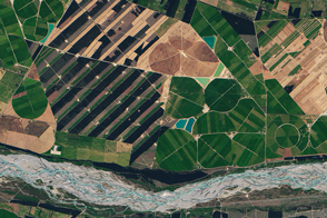
New Zealand: Where River and Winds Weave Read more
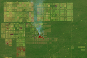
Argentina’s Changing Chaco Forest Read more
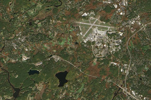
Minute Man National Historical Park Read more
Landslide onto Steele Glacier Read more