The Landsat satellite record stretches from 1972 to the present. This gallery includes all Landsat images published on the Earth Observatory, Visible Earth, and Landsat Science web sites from all seven Landsat satellites (Landsats 1-8, Landsat 6 failed to achieve orbit). All of the images are in the public domain and may be used with attribution. The correct attribution for imagery obtained from this site is:
“Landsat imagery courtesy of NASA Goddard Space Flight Center and U.S. Geological Survey” or “USGS/NASA Landsat”
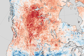
Heat Fuels Fire at Fort McMurray Read more
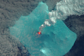
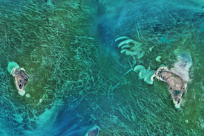
Signs of an Eruption on Bristol Island Read more
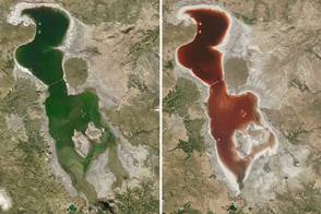
Red Lake Urmia Read more
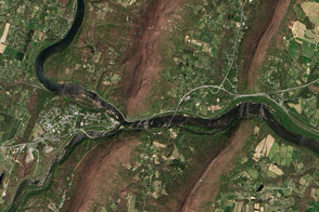
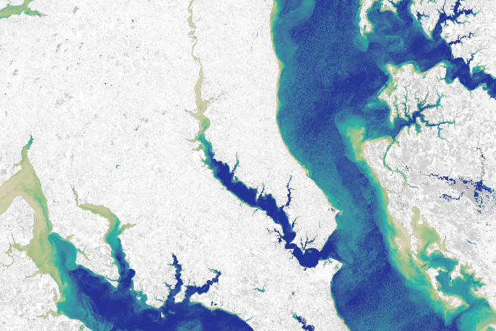
Looking Down on Potomac Water Gap Read more
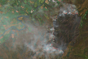
Rocky Mount Fire, Virginia Read more
Ice Scours the North Caspian Sea Read more
Sneaker Science Read more
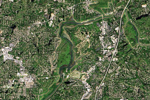
Way Down Yonder on the Chattahoochee Read more
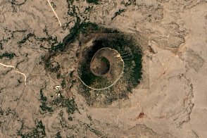
Capulin Volcano National Monument Read more