The Landsat satellite record stretches from 1972 to the present. This gallery includes all Landsat images published on the Earth Observatory, Visible Earth, and Landsat Science web sites from all seven Landsat satellites (Landsats 1-8, Landsat 6 failed to achieve orbit). All of the images are in the public domain and may be used with attribution. The correct attribution for imagery obtained from this site is:
“Landsat imagery courtesy of NASA Goddard Space Flight Center and U.S. Geological Survey” or “USGS/NASA Landsat”
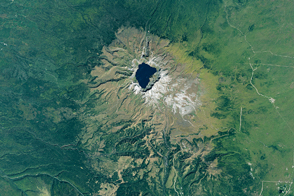
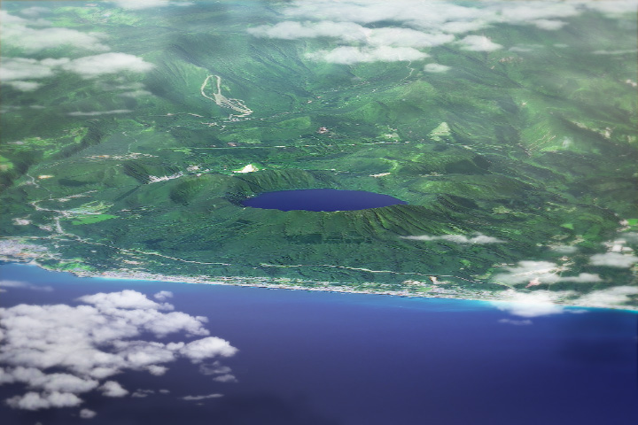
Mount Paektu: North Korea’s Slumbering Giant Read more
An Unusual Angle Read more
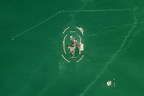
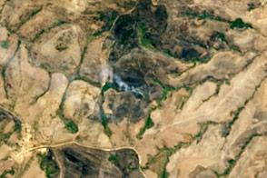
Kashagan Oil and Gas Field, Kazakhstan Read more
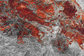
Wildfire Scars California Towns Read more
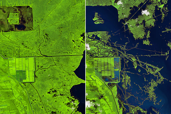
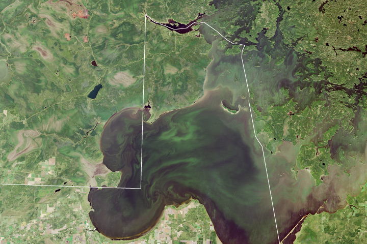
A Changed Landscape in Southern Louisiana Read more
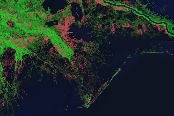
Hurricanes Have Left Their Mark on Louisiana’s Wetlands Read more
Going High-Tech for Fire Detection Read more
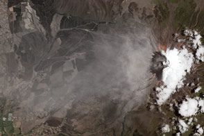
Cotopaxi Volcano, Ecuador Read more
Volcanic Hell Makes for Bathing Heaven Read more