The Landsat satellite record stretches from 1972 to the present. This gallery includes all Landsat images published on the Earth Observatory, Visible Earth, and Landsat Science web sites from all seven Landsat satellites (Landsats 1-8, Landsat 6 failed to achieve orbit). All of the images are in the public domain and may be used with attribution. The correct attribution for imagery obtained from this site is:
“Landsat imagery courtesy of NASA Goddard Space Flight Center and U.S. Geological Survey” or “USGS/NASA Landsat”
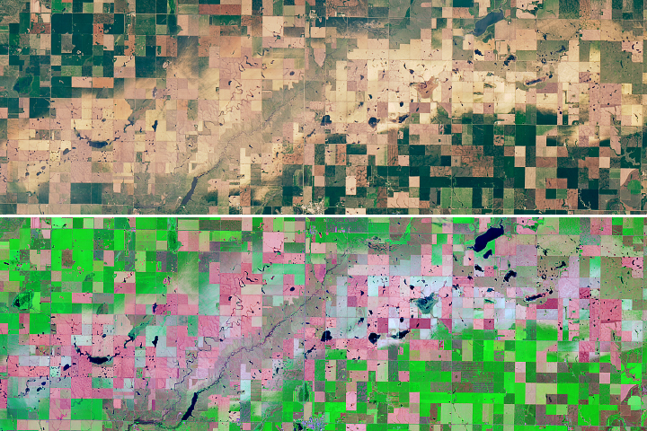
Hail Cuts Swaths of Damage Across South Dakota Read more

Satellites Investigate Irrigation in a Stressed Aquifer Read more
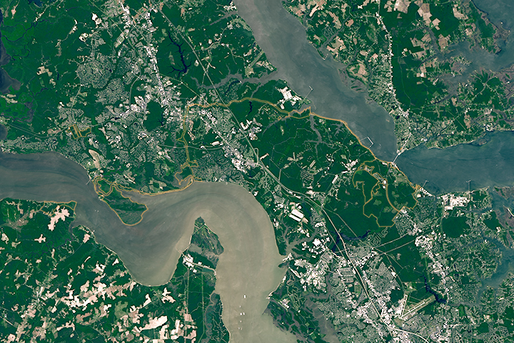
Colonial National Historical Park Read more

Volcanic Mood Rings Read more
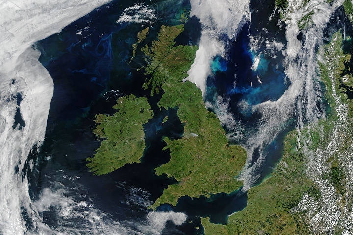
Rare Fair Skies Over All of the UK and Ireland Read more
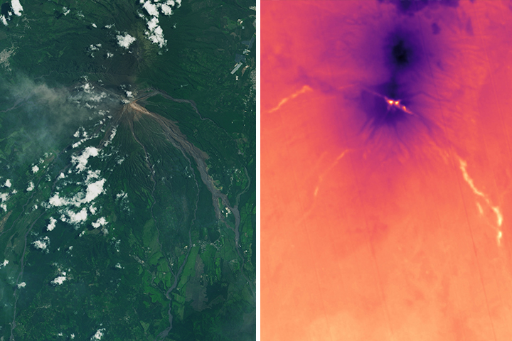
Heat Lingers from Fuego’s Deadly Pyroclastic Debris Flows Read more

Pawnee Fire, Northern California Read more
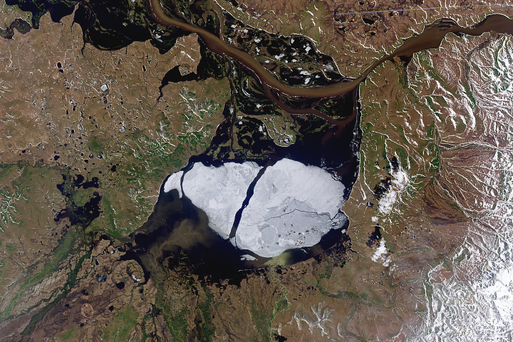
Going, Going, Gone: Summer Clears Ice from Krasnoye Lake Read more
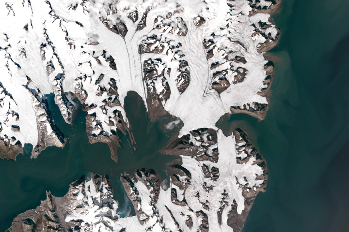
Losing Ice in Svalbard Read more