The Landsat satellite record stretches from 1972 to the present. This gallery includes all Landsat images published on the Earth Observatory, Visible Earth, and Landsat Science web sites from all seven Landsat satellites (Landsats 1-8, Landsat 6 failed to achieve orbit). All of the images are in the public domain and may be used with attribution. The correct attribution for imagery obtained from this site is:
“Landsat imagery courtesy of NASA Goddard Space Flight Center and U.S. Geological Survey” or “USGS/NASA Landsat”
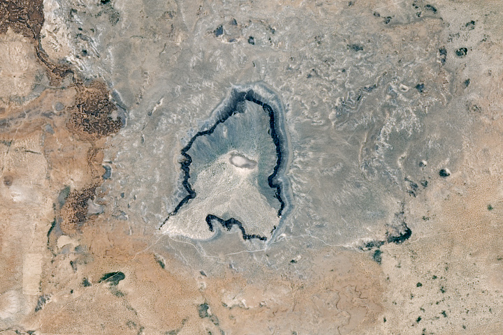
Preparing for the Moon and Mars at Potrillo Read more
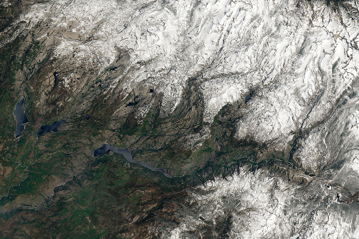
Sierra Nevada Snowpack Remains Abundant as Summer Begins Read more
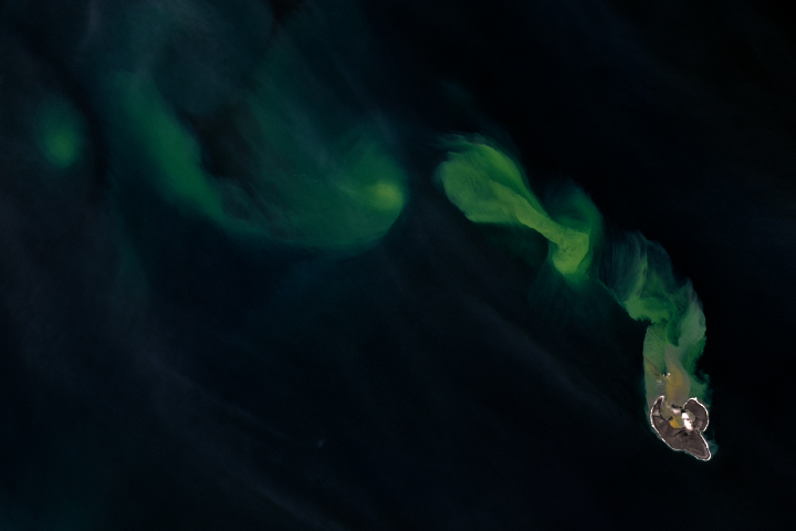
Bogoslof Begets Ash in the Bering Sea Read more
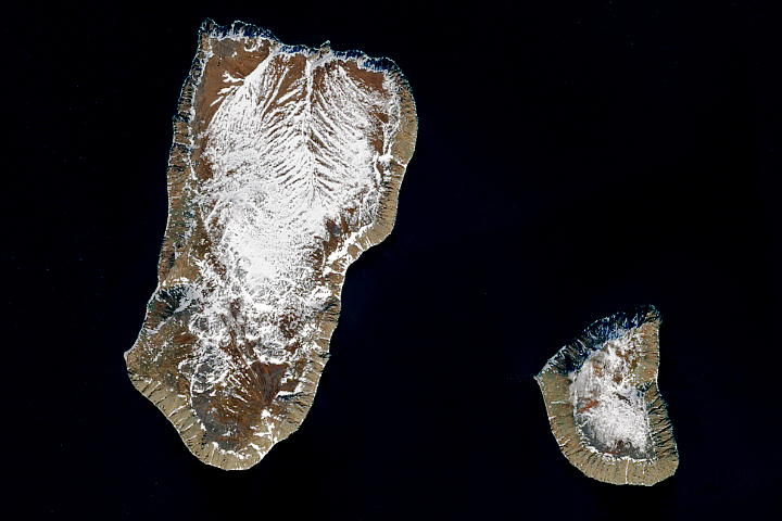
Yesterday and Tomorrow Islands Read more
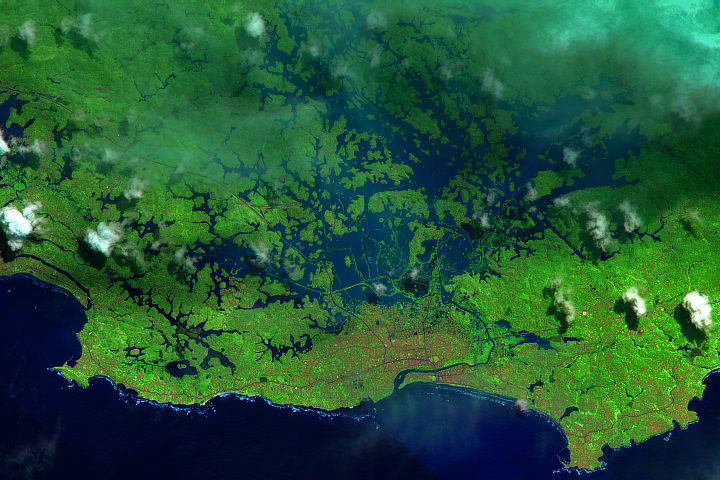
The Monsoon Inundates Sri Lanka Read more
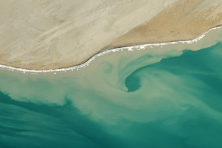
When the Land Stains the Sea Read more
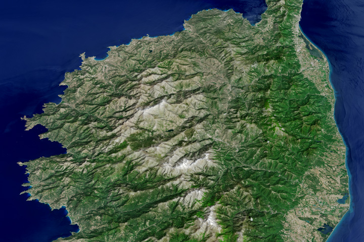
The Mountainous Spine of Corsica Read more
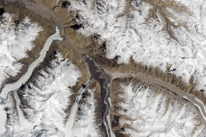
When Glaciers and Rivers Collide Read more
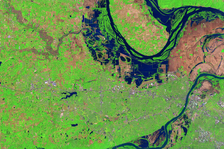
Flooding Near St. Peters, Missouri Read more