The Landsat satellite record stretches from 1972 to the present. This gallery includes all Landsat images published on the Earth Observatory, Visible Earth, and Landsat Science web sites from all seven Landsat satellites (Landsats 1-8, Landsat 6 failed to achieve orbit). All of the images are in the public domain and may be used with attribution. The correct attribution for imagery obtained from this site is:
“Landsat imagery courtesy of NASA Goddard Space Flight Center and U.S. Geological Survey” or “USGS/NASA Landsat”
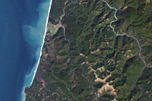
Redwood National Park Read more

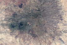
Wolf Volcano, Galapagos Islands Read more
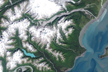
Mt. Redoubt Volcano, Alaska Read more
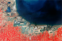
Aquaculture and Salt Production near Bo Hai, China Read more
Joshua Tree National Park, California Read more
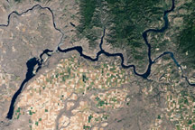
Grand Coulee Dam Read more
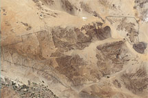
Mt. Marra, Sudan Read more
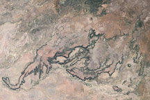
Porcupine Gorge, Queensland, Australia Read more
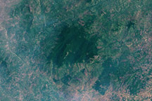
Mount Mabu, Mozambique Read more