The Landsat satellite record stretches from 1972 to the present. This gallery includes all Landsat images published on the Earth Observatory, Visible Earth, and Landsat Science web sites from all seven Landsat satellites (Landsats 1-8, Landsat 6 failed to achieve orbit). All of the images are in the public domain and may be used with attribution. The correct attribution for imagery obtained from this site is:
“Landsat imagery courtesy of NASA Goddard Space Flight Center and U.S. Geological Survey” or “USGS/NASA Landsat”
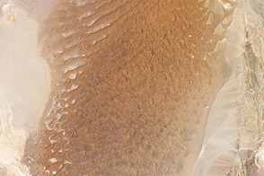
The Hottest Spot on Earth Read more
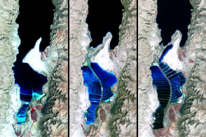
The Dead Sea Read more
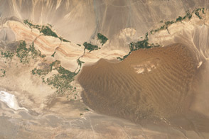
Turpan Basin, China Read more
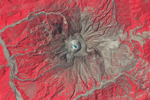
Remembering El Chichon Read more
El Vizcaíno Biosphere Reserve, Mexico Read more
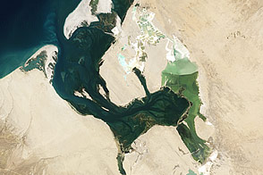
The Big Muddy, Western Edition Read more
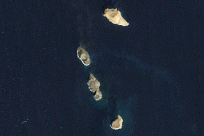
Volcanic Activity in the Red Sea Read more
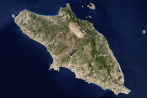
Rhodes, Greece Read more
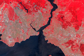
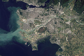
Istanbul, Turkey Read more