The Landsat satellite record stretches from 1972 to the present. This gallery includes all Landsat images published on the Earth Observatory, Visible Earth, and Landsat Science web sites from all seven Landsat satellites (Landsats 1-8, Landsat 6 failed to achieve orbit). All of the images are in the public domain and may be used with attribution. The correct attribution for imagery obtained from this site is:
“Landsat imagery courtesy of NASA Goddard Space Flight Center and U.S. Geological Survey” or “USGS/NASA Landsat”

Landsat in Memory of the World Register Read more
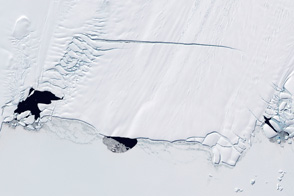
Polynyas and the Pine Island Glacier, Antarctica Read more
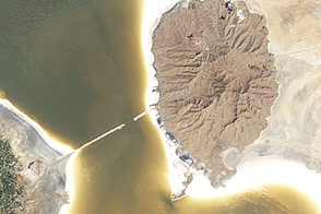
Lake Orumiyeh, Iran Read more
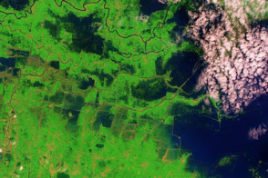
Flooding in Northern India Read more
Discovering America Read more
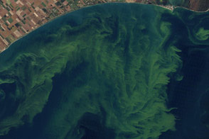
Toxic Algae Bloom in Lake Erie Read more
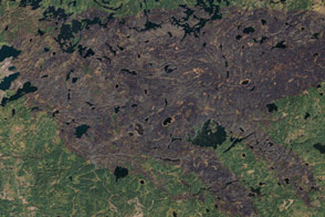
Burn Scar from the Pagami Creek Fire in Minnesota Read more
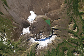
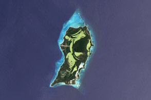
Old Volcano, Older Footprints Read more
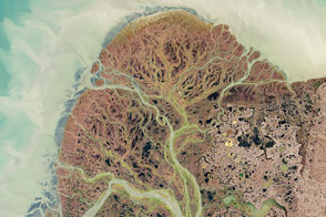
Yukon Delta, Alaska Read more