NASA
Landsat Image Gallery
Home
Satellites
Landsat NeXt
Landsat 9
Landsat 8
Landsat 7
Landsat 6
Landsat 5
Landsat 4
Landsat 3
Landsat 2
Landsat 1
News
Data
Where to Get Data
Find Your Location
How to Use Data
More Free Data
Data Details
Galleries
Benefits
Agriculture
Carbon and Climate
Disasters
Ecosystems and Biodiversity
Energy
Fire
Forest Management
Human Health
Urban Growth
Water
Case Studies
Postcard Series
Outreach
Camp Landsat
Landsat at Home
Landsat Virtual Meeting Backgrounds
Geographia
Posters and Games
Formal Educators
Students
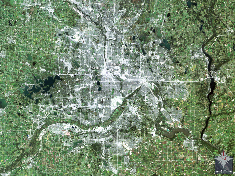
acquired August 31, 2007
Interstate Bridge Collapses
Downloads
2007_Minnesota_Bridge_crop.tif
(TIFF)
Metadata
Sensor(s):
Landsat 5 - TM
Data Date:
August 31, 2007
Visualization Date:
May 22, 2012
On Aug. 1, 2007, the Mississippi River Bridge in Minneapolis collapsed, killing three people. This natural-color image of the Twin Cities was acquired later that month. Note the multitude of bridges that span the Mississippi.
NASA GSFC Landsat/LDCM EPO Team