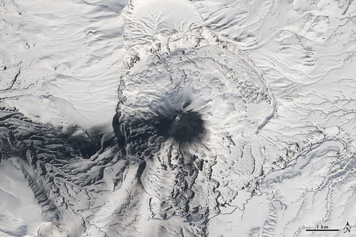
Five Volcanoes Erupting at Once
Downloads
- shiveluch_oli_2014104_lrg.jpg (3600x3600, JPEG)
- klyuchevskaya_oli_2014104_lrg.jpg (3600x3600, JPEG)
- bezymianny_oli_2014104_lrg.jpg (3600x3600, JPEG)
- kizimen_oli_2014104_lrg.jpg (3600x3600, JPEG)
- karymsky_oli_2014104_lrg.jpg (3200x3200, JPEG)
Metadata
- Sensor(s):
- Landsat 8 - OLI
- Data Date: April 14, 2014
- Visualization Date: April 14, 2014
Remote. Cold. Rugged. Those three adjectives capture the essence of Russia’s Kamchatka Peninsula. Another word—perhaps more applicable than anywhere else on Earth—is “fiery.”
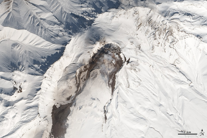
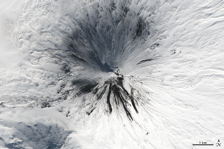
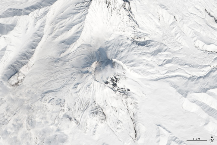
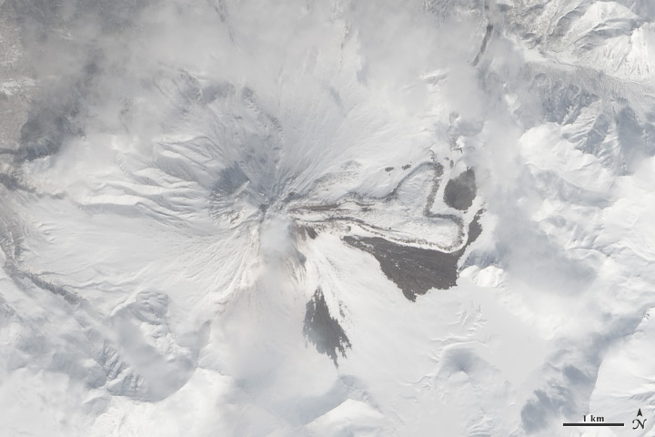
Of the roughly 1,550 volcanoes that have erupted in the recent geologic past, 113 are found on Kamchatka. Forty Kamchatkan volcanoes are “active,” either erupting now or capable of erupting on short notice. The Operational Land Imager (OLI) on Landsat 8 captured activity at five of them during a single satellite pass on April 14, 2014.
From geographic north to south (and top to bottom on this page), the volcanoes are Shiveluch, Klyuchevskaya, Bezymianny, Kizimen, and Karymsky. The tallest of the group is Klyuchevskaya, a stratovolcano with a steep, symmetrical cone that reaches 4,750 meters (15,580 feet) above sea level. The most active is Karymsky, a 1,536-meter (5,039-foot) peak that has erupted regularly since 1996.
Plate tectonics is responsible for the many volcanoes on Kamchatka Peninsula. The Pacific Plate is slowly colliding with and sliding beneath the Okhotsk Plate. As rock from the Pacific Plate descends and encounters higher pressures and temperatures, it melts into magma. Over time, magma accumulates and migrates up toward the surface, causing volcanic eruptions.
Long before the discovery of plate tectonics, Kamchatka’s many volcanoes and eruptions were woven into a rich tapestry of myths and creation stories. According to Koryak folklore, the raven-like deity Kutkh created Kamchatka by dropping a giant feather on the Pacific Ocean. Each of the first generation of men became one of Kamchatka’s mountains at death; many of these mountains became volcanic because the men’s hearts burned so passionately for a beautiful woman that Kutkh had also created near the beginning of time.
In 2013, another NASA satellite collected imagery of Shiveluch, Bezymianny, Tolbachik, and Kizimen.
References and Related Reading
- Earth Observatory Activity at Kliuchevskoi.
- Earth Observatory Kamchatka Volcanoes.
- Global Volcanism Program Kamchatka and Mainland Asia. Accessed April 15, 2014.
- Kamchatka Volcanic Eruption Response Team Kamchatka and the Norther Kuriles Volcanoes. Accessed April 15, 2014.
- PBS The Ring of Fire. Accessed April 15, 2014.
- Volcano World Volcano Folklore: Russia. Accessed April 15, 2014.
NASA Earth Observatory images by Robert Simmon, using Landsat 8 data from the USGS Earth Explorer. Caption by Robert Simmon and Adam Voiland.
This image record originally appeared on the Earth Observatory. Click here to view the full, original record.