The Landsat satellite record stretches from 1972 to the present. This gallery includes all Landsat images published on the Earth Observatory, Visible Earth, and Landsat Science web sites from all seven Landsat satellites (Landsats 1-8, Landsat 6 failed to achieve orbit). All of the images are in the public domain and may be used with attribution. The correct attribution for imagery obtained from this site is:
“Landsat imagery courtesy of NASA Goddard Space Flight Center and U.S. Geological Survey” or “USGS/NASA Landsat”
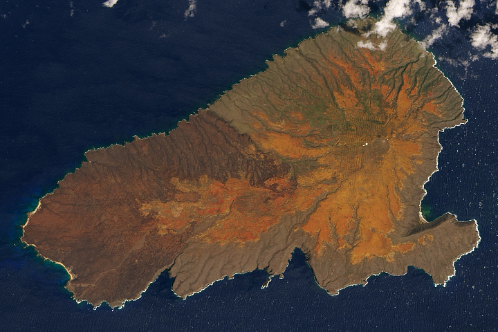
Healing Scars at Kaho’olawe Read more
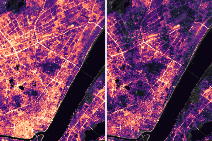
Nighttime Images Capture Change in China Read more
Scouting Watering Holes from Space Read more
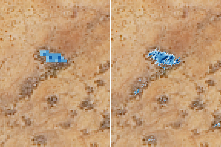
The Disappearance of Ecuador’s Tallest Waterfall Read more
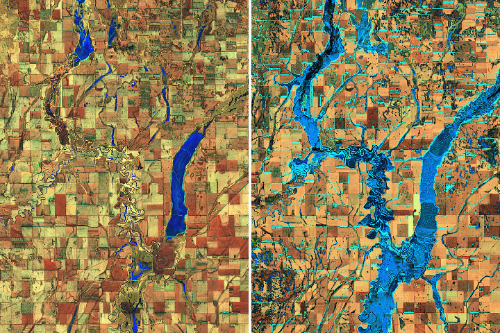
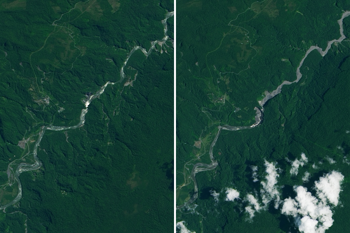
Relentless Floods Read more
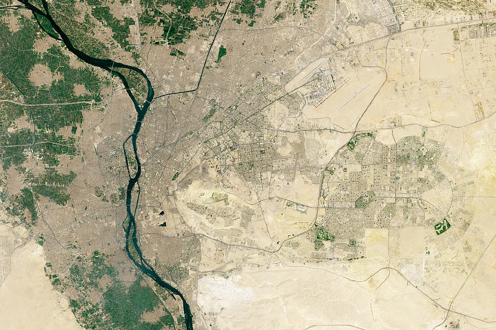
New Ground for an Ancient City Read more
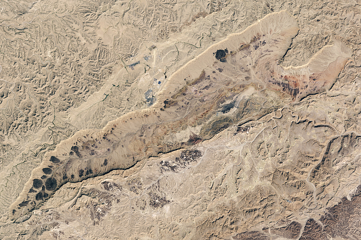
Israel’s Heart-Shaped Crater Read more
Taking Temperatures from ISS Read more

A Delta Oasis in Southeastern Kazakhstan Read more