The Landsat satellite record stretches from 1972 to the present. This gallery includes all Landsat images published on the Earth Observatory, Visible Earth, and Landsat Science web sites from all seven Landsat satellites (Landsats 1-8, Landsat 6 failed to achieve orbit). All of the images are in the public domain and may be used with attribution. The correct attribution for imagery obtained from this site is:
“Landsat imagery courtesy of NASA Goddard Space Flight Center and U.S. Geological Survey” or “USGS/NASA Landsat”
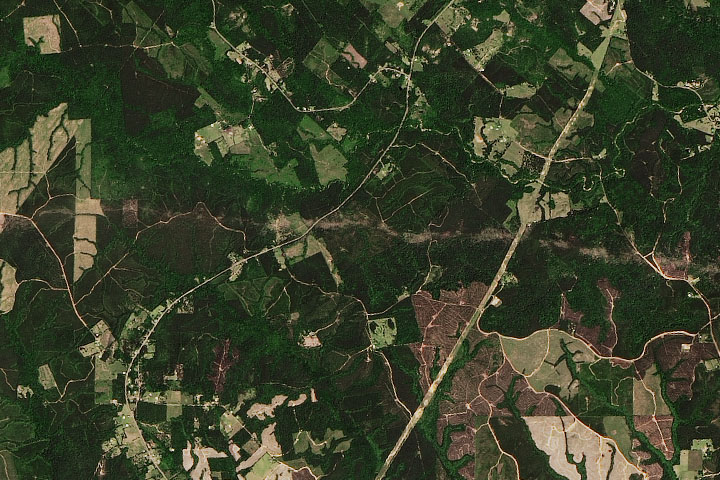
Tornado Leaves a Mark on Rural Texas Read more
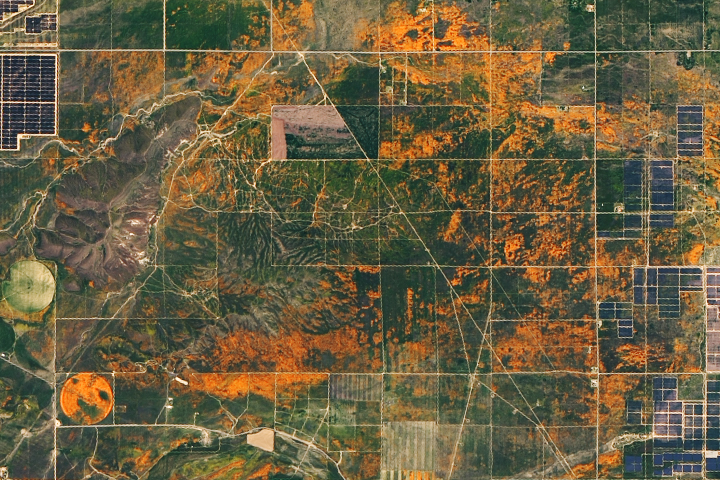
Orange You Glad It’s Spring? Read more
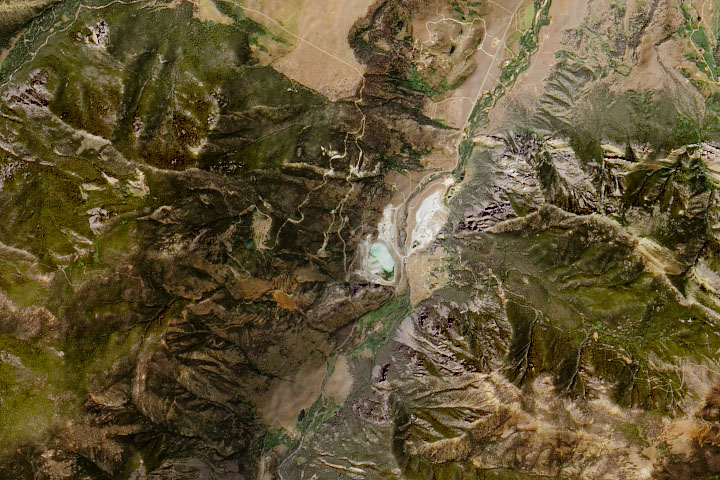
Montana’s Moon-Like Rocks Read more
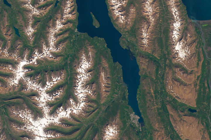
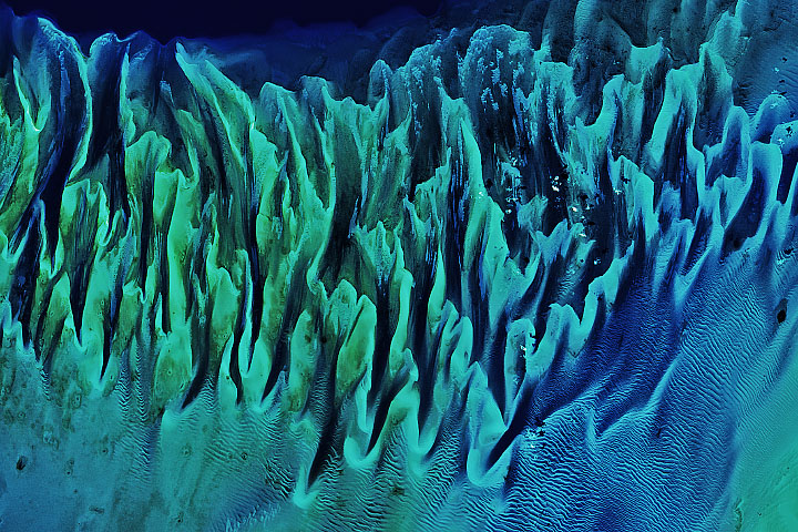
Iceland’s Longest Fjord Read more
A Windbreak Grid in Hokkaido Read more
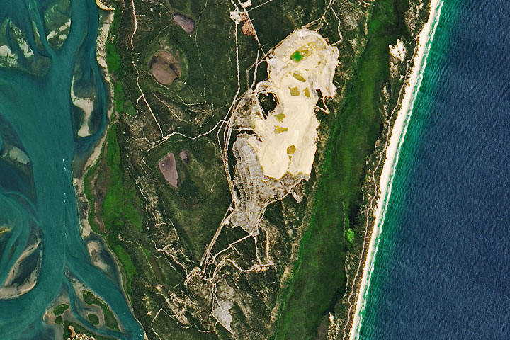
Saving Straddie’s Sand Read more
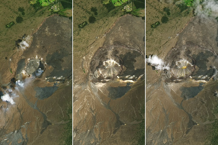
A New Lake—Water Not Lava—On Kilauea Read more
Still Sandy After All These Years Read more
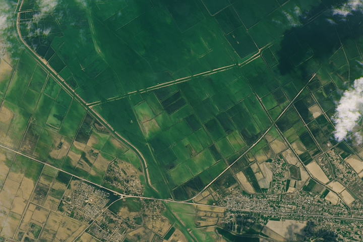
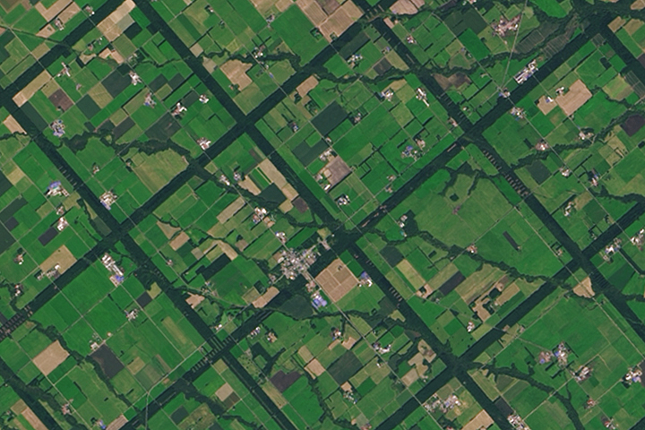
Flooding in Uzbekistan and Kazakhstan Read more