The Landsat satellite record stretches from 1972 to the present. This gallery includes all Landsat images published on the Earth Observatory, Visible Earth, and Landsat Science web sites from all seven Landsat satellites (Landsats 1-8, Landsat 6 failed to achieve orbit). All of the images are in the public domain and may be used with attribution. The correct attribution for imagery obtained from this site is:
“Landsat imagery courtesy of NASA Goddard Space Flight Center and U.S. Geological Survey” or “USGS/NASA Landsat”
![](https://eoimages.gsfc.nasa.gov/images/imagerecords/147000/147013/yangtze_oli_2020182_th.jpg)
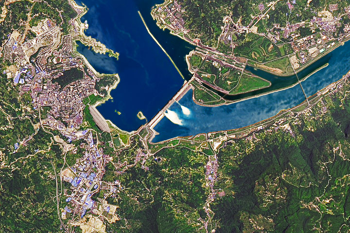
Yangtze Dams Spill Water Read more
![](https://eoimages.gsfc.nasa.gov/images/imagerecords/147000/147031/parana_amo_2020196_th.jpg)
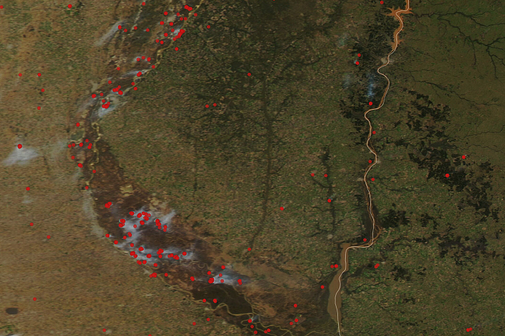
The Parched Paraná River Read more
![](https://eoimages.gsfc.nasa.gov/images/imagerecords/147000/147041/lakesalda_oli_2020159_th.jpg)
Jez like Mars Read more
![](https://eoimages.gsfc.nasa.gov/images/imagerecords/147000/147053/devon_oli_2020204_th.jpg)
Cultivating Ideas for Mars Read more
![](https://eoimages.gsfc.nasa.gov/images/imagerecords/147000/147110/grandplateau_2019260_th.jpg)
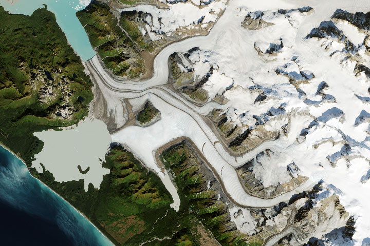
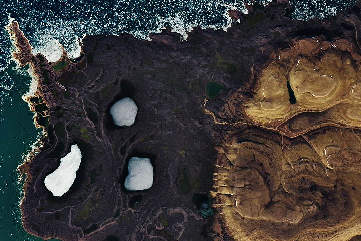
Grand Plateau Glacier Read more
![](https://eoimages.gsfc.nasa.gov/images/imagerecords/147000/147125/turkeyag_oli_2020160_th.jpg)
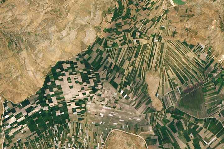
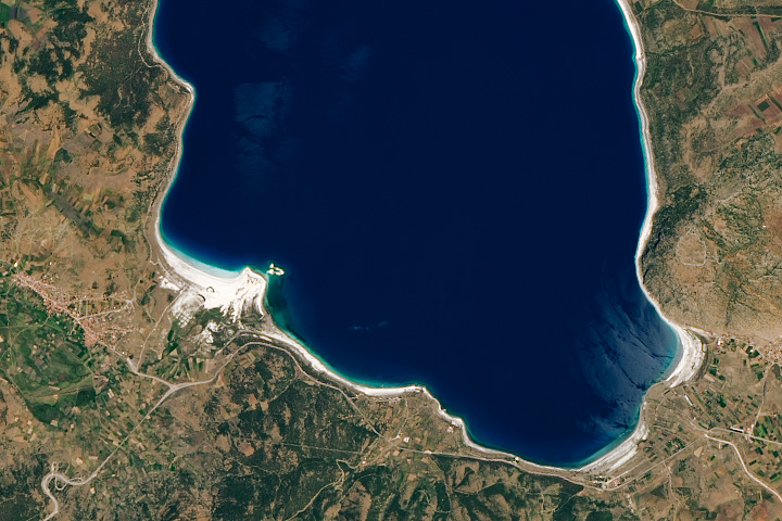
Farming in Turkey’s Mountains Read more
![](https://eoimages.gsfc.nasa.gov/images/imagerecords/147000/147129/oceanflower_oli_2020127_th.jpg)
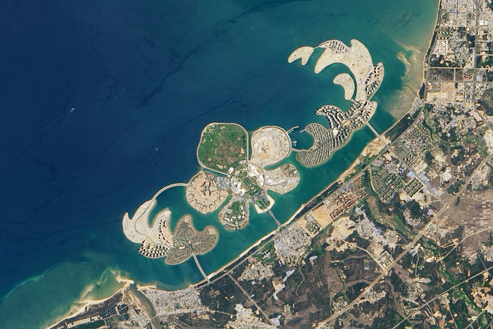
A Sandy Flower in the Pacific Read more
![](https://eoimages.gsfc.nasa.gov/images/imagerecords/147000/147135/baltic_oli_2020228_th.jpg)
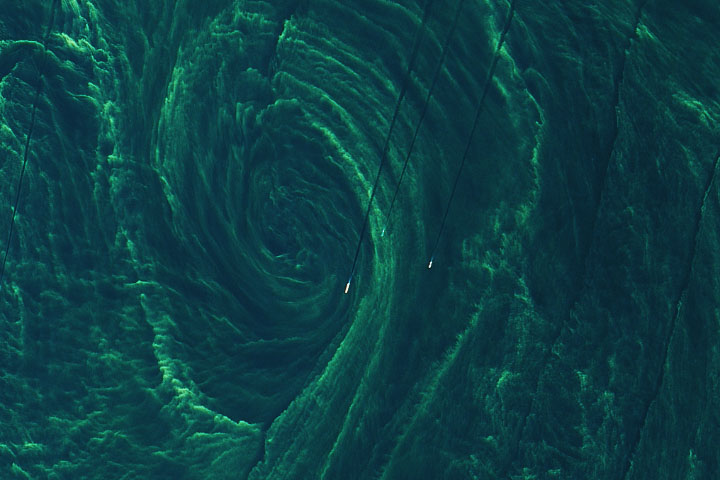
Beguiling Bloom in The Baltic Sea Read more
![](https://eoimages.gsfc.nasa.gov/images/imagerecords/147000/147142/mangroves_oli_2016_th.png)
Mapping the Roots of Mangrove Loss Read more