The Landsat satellite record stretches from 1972 to the present. This gallery includes all Landsat images published on the Earth Observatory, Visible Earth, and Landsat Science web sites from all seven Landsat satellites (Landsats 1-8, Landsat 6 failed to achieve orbit). All of the images are in the public domain and may be used with attribution. The correct attribution for imagery obtained from this site is:
“Landsat imagery courtesy of NASA Goddard Space Flight Center and U.S. Geological Survey” or “USGS/NASA Landsat”
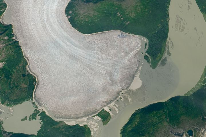
Retreat Begins at Taku Glacier Read more
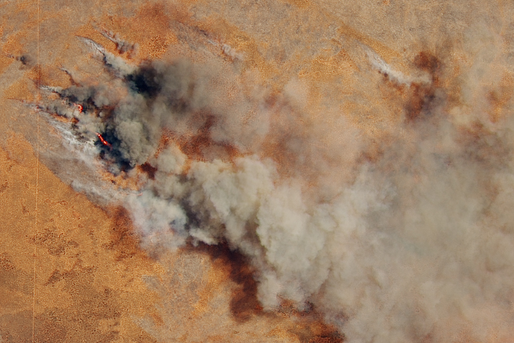
Fire in Western Australia Read more
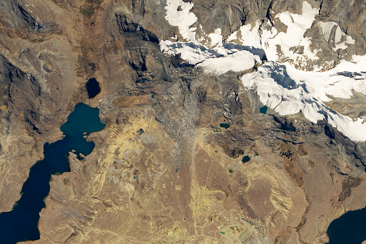
The Highest Settlement in the World Read more
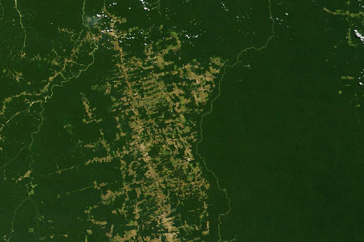
Making Sense of Amazon Deforestation Patterns Read more
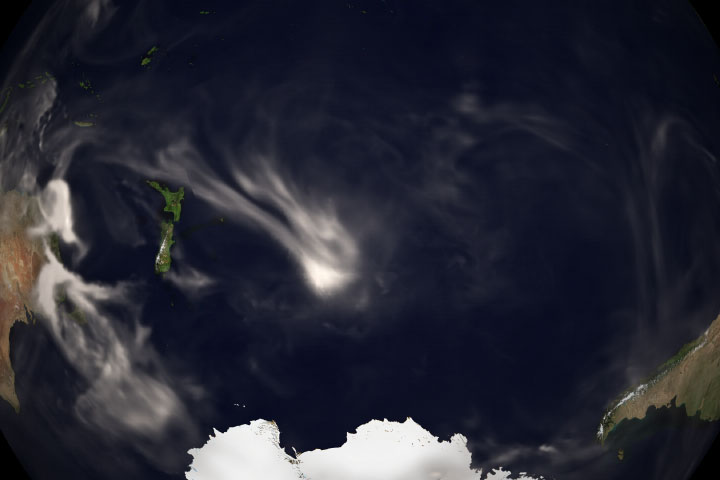
Aussie Smoke Plumes Crossing Oceans Read more

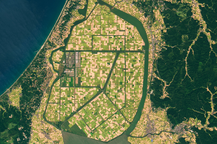
The Oysters of Tongyeong Read more
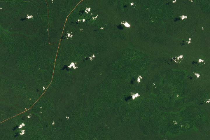
When a Road Leads to Deforestation Read more

All Eyes on Tonga’s Kingdom of Volcanoes Read more
Rice Bowl from a Reclaimed Lake Read more