The Landsat satellite record stretches from 1972 to the present. This gallery includes all Landsat images published on the Earth Observatory, Visible Earth, and Landsat Science web sites from all seven Landsat satellites (Landsats 1-8, Landsat 6 failed to achieve orbit). All of the images are in the public domain and may be used with attribution. The correct attribution for imagery obtained from this site is:
“Landsat imagery courtesy of NASA Goddard Space Flight Center and U.S. Geological Survey” or “USGS/NASA Landsat”
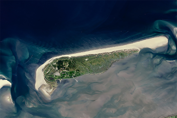
Taking Stock of the World’s Sandy Beaches Read more
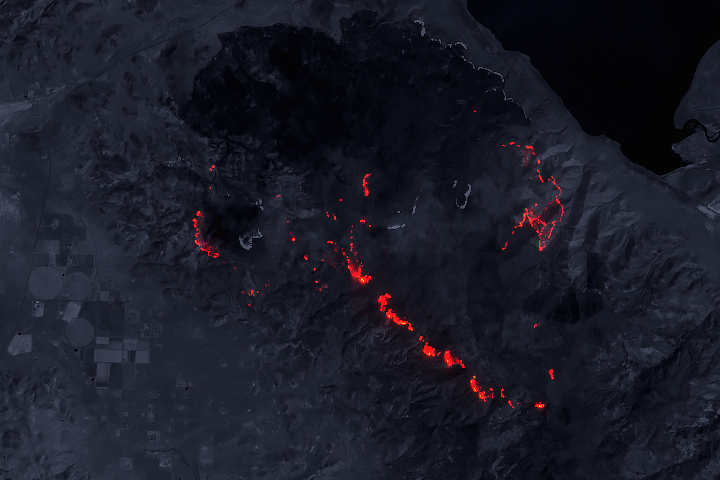
The Perry Fire by Day and Night Read more
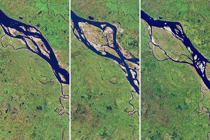
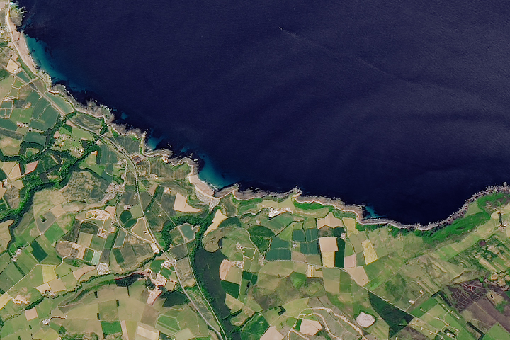
The Most Erosive Area on the Padma Read more
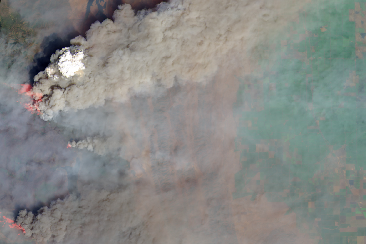
Smoke Plumes Tower Over California Read more
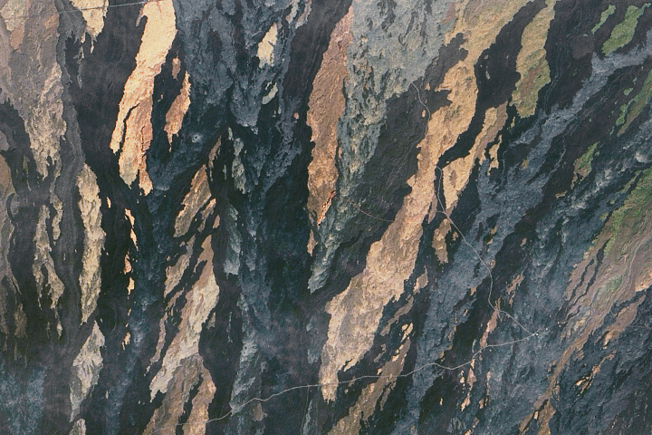
The Abyss of Time Read more
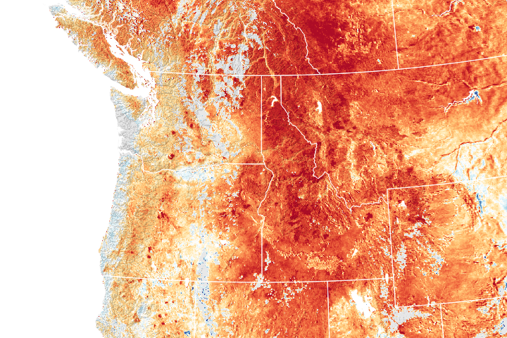
The Northwest is Running Hot and Dry Read more
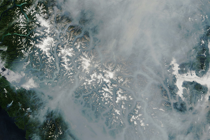
Smoke Blankets British Columbia Read more
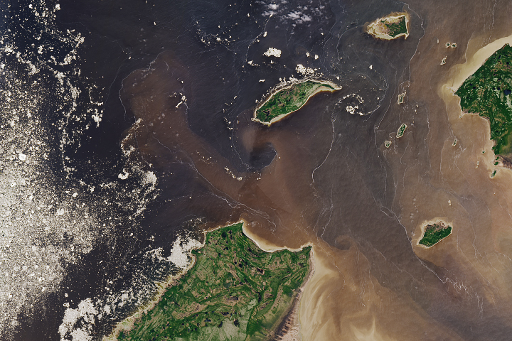
Filaments and Color in Rupert Bay Read more
Living the Mars Life on Mauna Loa Read more