The Landsat satellite record stretches from 1972 to the present. This gallery includes all Landsat images published on the Earth Observatory, Visible Earth, and Landsat Science web sites from all seven Landsat satellites (Landsats 1-8, Landsat 6 failed to achieve orbit). All of the images are in the public domain and may be used with attribution. The correct attribution for imagery obtained from this site is:
“Landsat imagery courtesy of NASA Goddard Space Flight Center and U.S. Geological Survey” or “USGS/NASA Landsat”
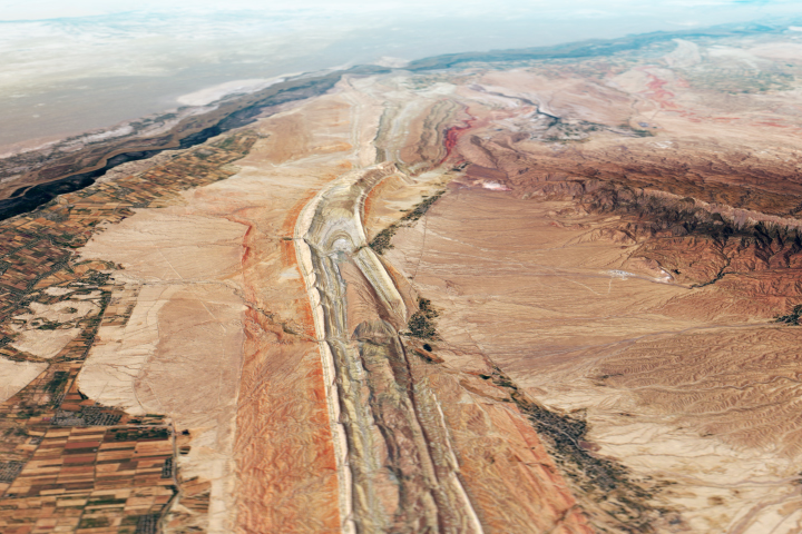
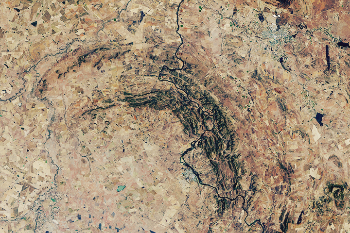
Archaeology from Afar in Uzbekistan Read more
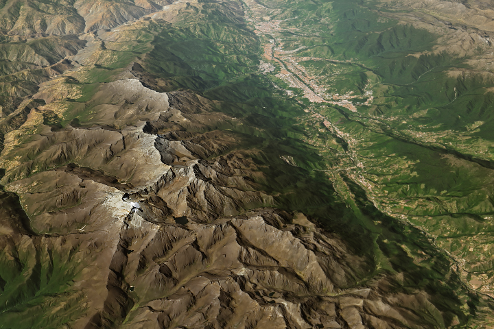
Last Glacier Standing in Venezuela Read more
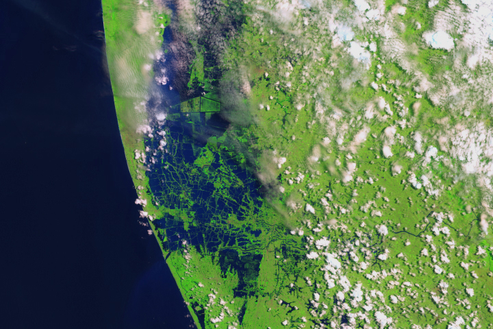
Before and After the Kerala Floods Read more
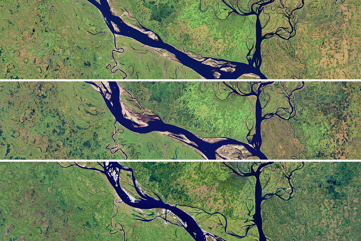
Meandering Bends of the Lower Padma River Read more
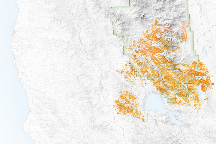
The Scars of Mendocino Read more
Vredefort Crater Read more
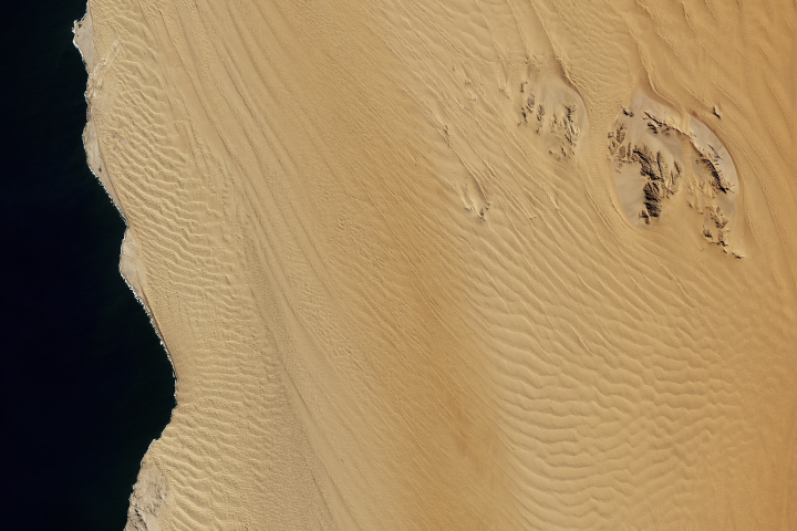
Between the Ripples of the Namib Sand Sea Read more
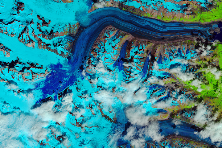
“Snow Swamp” on Lowell Glacier Read more
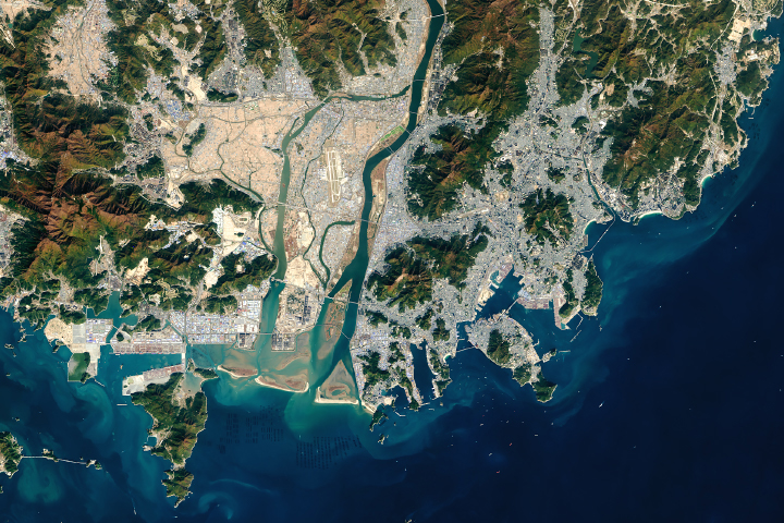
Decades of Growth at Port of Busan Read more