The Landsat satellite record stretches from 1972 to the present. This gallery includes all Landsat images published on the Earth Observatory, Visible Earth, and Landsat Science web sites from all seven Landsat satellites (Landsats 1-8, Landsat 6 failed to achieve orbit). All of the images are in the public domain and may be used with attribution. The correct attribution for imagery obtained from this site is:
“Landsat imagery courtesy of NASA Goddard Space Flight Center and U.S. Geological Survey” or “USGS/NASA Landsat”

Runoff Raises Lake Powell Read more
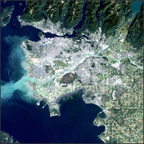
Vancouver, Canada Read more
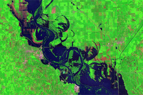
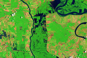
Lingering Floods in Eastern Nebraska Read more
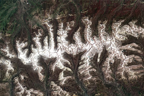
July Snow in the Uinta Mountains, Utah Read more
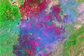
Wallow Fire, Arizona Read more
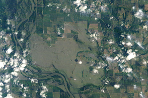
Flooding near Hamburg, Iowa Read more
Morganza Floodway Read more

Lingering Floodwaters near Vicksburg, Mississippi Read more
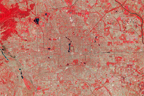
Beijing Grows from Ancient City to Global Hub Read more