The Landsat satellite record stretches from 1972 to the present. This gallery includes all Landsat images published on the Earth Observatory, Visible Earth, and Landsat Science web sites from all seven Landsat satellites (Landsats 1-8, Landsat 6 failed to achieve orbit). All of the images are in the public domain and may be used with attribution. The correct attribution for imagery obtained from this site is:
“Landsat imagery courtesy of NASA Goddard Space Flight Center and U.S. Geological Survey” or “USGS/NASA Landsat”
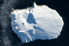
A Thousand Miles from Nowhere Read more
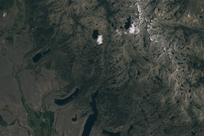
Snowmelt Has Been Coming Earlier in Wyoming Read more

A Long Look at El Paso and Ciudad Juarez Read more
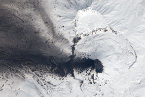
Black Ash, White Snow, and Blue Acid Read more
Floating Forests Revealed Read more
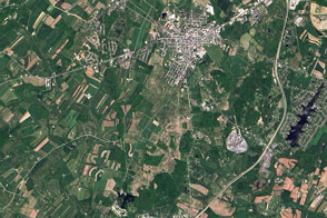
150th Anniversary of the Battle of Gettysburg Read more
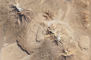
The Shapes that Lavas Take, Part 1 Read more
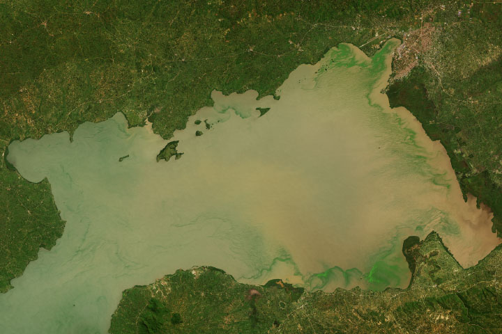
Lake Victoria’s Rising Waters Read more
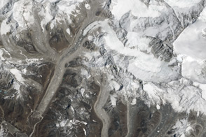
Everest Region, Nepal and China Read more