The Landsat satellite record stretches from 1972 to the present. This gallery includes all Landsat images published on the Earth Observatory, Visible Earth, and Landsat Science web sites from all seven Landsat satellites (Landsats 1-8, Landsat 6 failed to achieve orbit). All of the images are in the public domain and may be used with attribution. The correct attribution for imagery obtained from this site is:
“Landsat imagery courtesy of NASA Goddard Space Flight Center and U.S. Geological Survey” or “USGS/NASA Landsat”
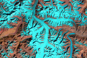
Fedchenko Glacier Read more

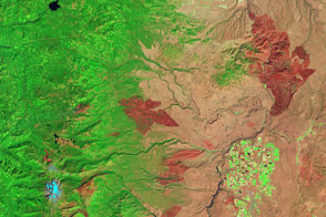
Fire and the Future of Yellowstone Read more
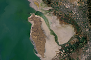
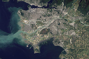
Salt Lake Water Woes Read more
Fire and the Future of Yellowstone Read more
High Cascades Complex, Oregon Read more
The Big Muddy, Western Edition Read more
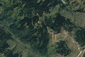
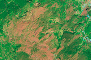
Forests Near Colorado’s Flat Tops Read more
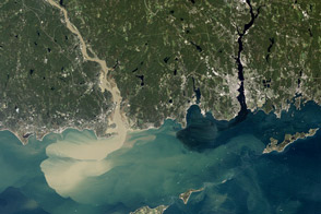
Sediment Spews from Connecticut River Read more
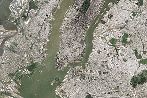
Irene’s Sediment in New York Harbor Read more