The Landsat satellite record stretches from 1972 to the present. This gallery includes all Landsat images published on the Earth Observatory, Visible Earth, and Landsat Science web sites from all seven Landsat satellites (Landsats 1-8, Landsat 6 failed to achieve orbit). All of the images are in the public domain and may be used with attribution. The correct attribution for imagery obtained from this site is:
“Landsat imagery courtesy of NASA Goddard Space Flight Center and U.S. Geological Survey” or “USGS/NASA Landsat”
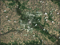
An Inaugural Crowd Read more
Coal Ash Spill, Tennessee Read more
Sequoia National Park Read more
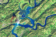
Houma, Louisiana - Hurricane Gustav Read more
Along Landsat 7’s 50,000th Orbit Read more
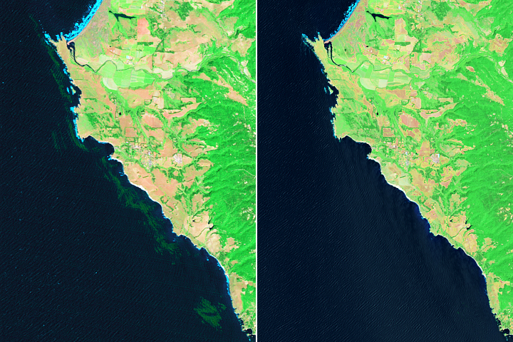
Monitoring the Collapse of Kelp Forests Read more
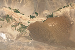
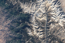
Turpan Basin, China Read more
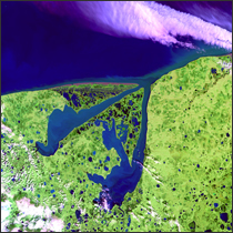
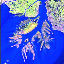
Khromskaya and Omulyakhskaya Bays Read more
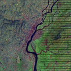
Cedar Rapids Floods Read more