The Landsat satellite record stretches from 1972 to the present. This gallery includes all Landsat images published on the Earth Observatory, Visible Earth, and Landsat Science web sites from all seven Landsat satellites (Landsats 1-8, Landsat 6 failed to achieve orbit). All of the images are in the public domain and may be used with attribution. The correct attribution for imagery obtained from this site is:
“Landsat imagery courtesy of NASA Goddard Space Flight Center and U.S. Geological Survey” or “USGS/NASA Landsat”

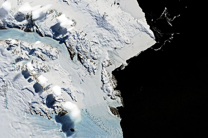
Undercutting Sverdrup Glacier Read more
Curious Clouds in the Transantarctic Mountains Read more
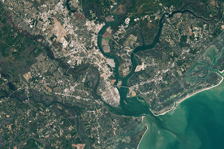
Rising Seas in Charleston Read more

Phytoplankton Factory in the Argentine Sea Read more
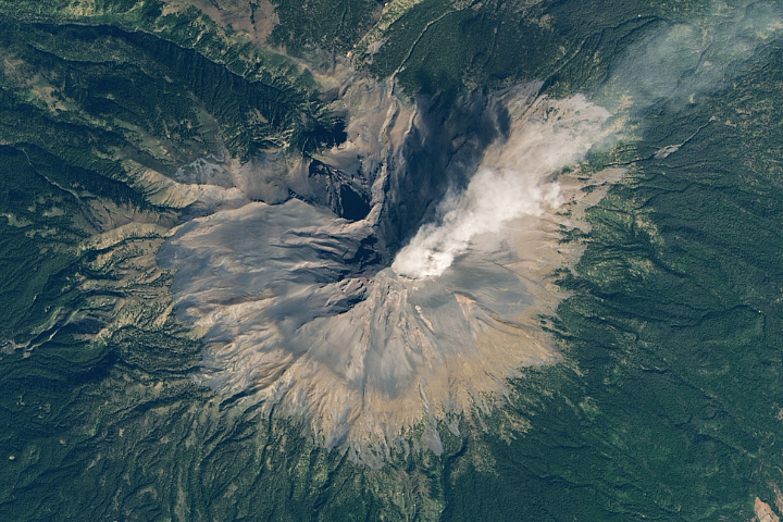
An Outburst from Popocatépetl Read more
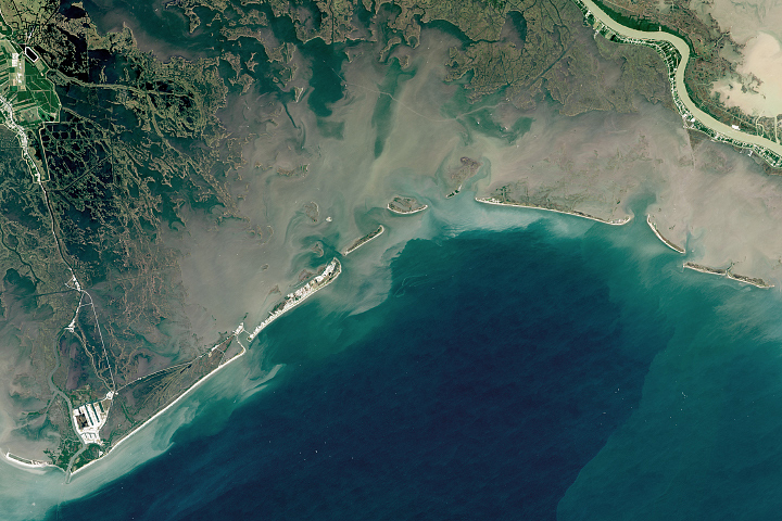
Reshaping Coastal Louisiana Read more
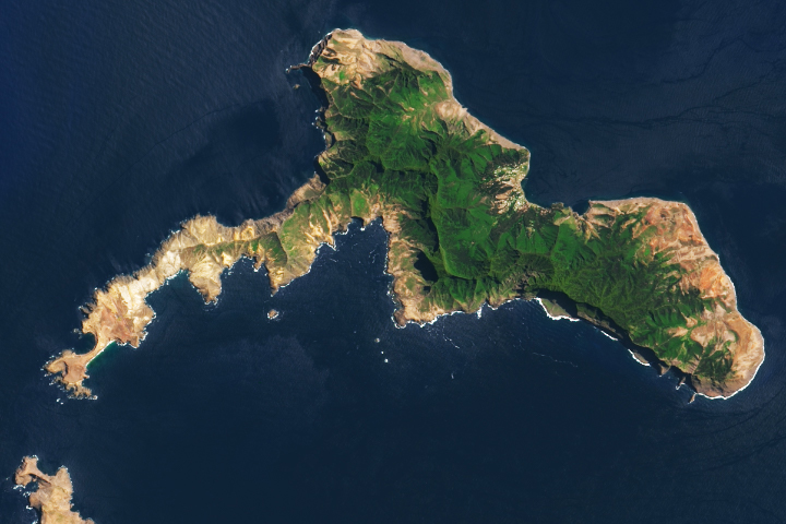
Robinson Crusoe Island Read more
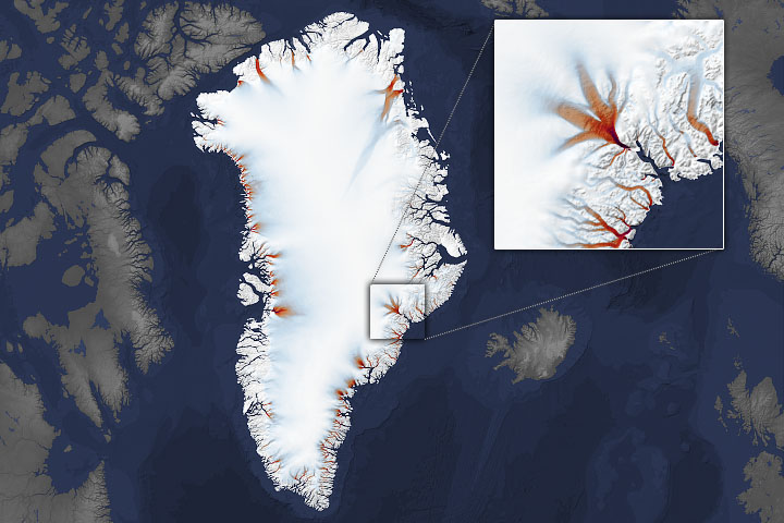
Shrinking Margins of Greenland Read more
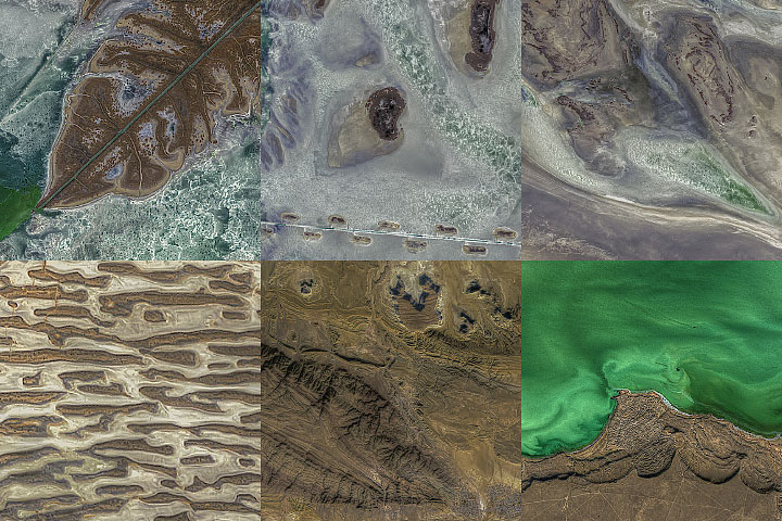
Textures Around the North Caspian Read more