The Landsat satellite record stretches from 1972 to the present. This gallery includes all Landsat images published on the Earth Observatory, Visible Earth, and Landsat Science web sites from all seven Landsat satellites (Landsats 1-8, Landsat 6 failed to achieve orbit). All of the images are in the public domain and may be used with attribution. The correct attribution for imagery obtained from this site is:
“Landsat imagery courtesy of NASA Goddard Space Flight Center and U.S. Geological Survey” or “USGS/NASA Landsat”
Come Fly with Me Read more
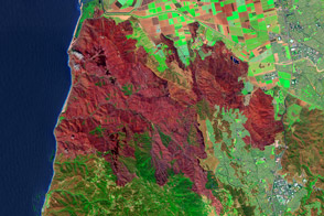
Mapping the Severity of Springs Fire from Space Read more
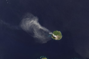
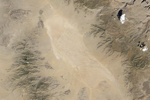
Thermal Sensor Lights Up from Volcanic Heat Read more
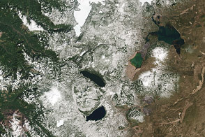
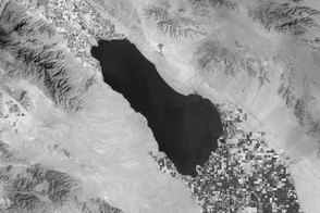
A Dynamic Landscape, a Dynamic Sensor Read more
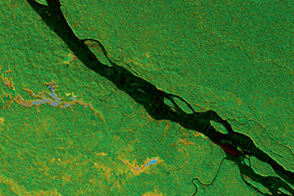
Penetrating Tree Cover to See the Forest Floor Read more
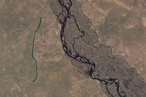
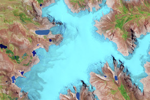
LDCM Looks for Water Amidst the Heat Read more

Exploring the Grand Canyon Read more
Tropical Climate History...Shrinking Read more
Eye Exam for a Satellite Read more