The Landsat satellite record stretches from 1972 to the present. This gallery includes all Landsat images published on the Earth Observatory, Visible Earth, and Landsat Science web sites from all seven Landsat satellites (Landsats 1-8, Landsat 6 failed to achieve orbit). All of the images are in the public domain and may be used with attribution. The correct attribution for imagery obtained from this site is:
“Landsat imagery courtesy of NASA Goddard Space Flight Center and U.S. Geological Survey” or “USGS/NASA Landsat”
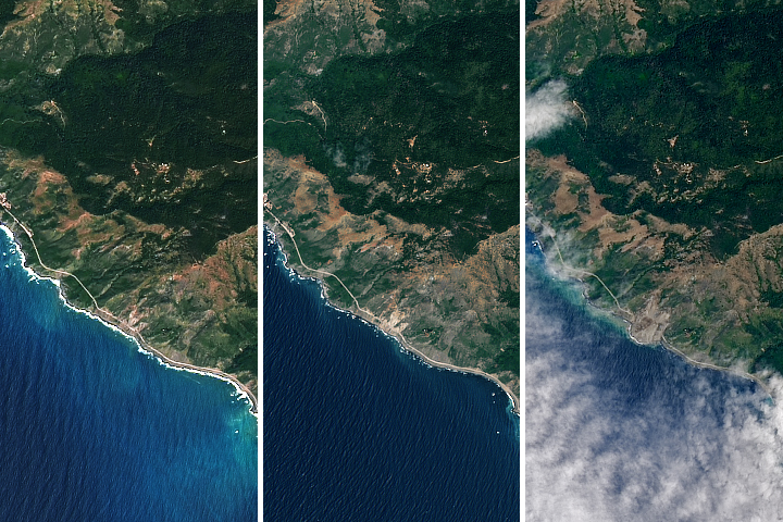
Landslide Buries Scenic California Highway Read more
Lava Glows Atop Nishinoshima Read more
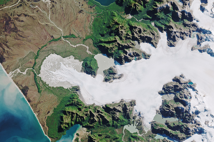
North Patagonian Icefield Read more

New Rift on Petermann Glacier Read more
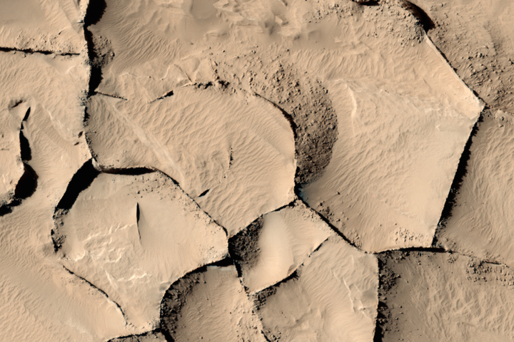
Distant Sisters from Mars and New Mexico Read more
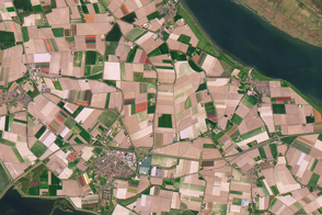
Tulip Mania Read more
Langley Turns 100 Read more
Seaweed and Fish World Read more
Where It’s Christmas Every Day Read more