The Landsat satellite record stretches from 1972 to the present. This gallery includes all Landsat images published on the Earth Observatory, Visible Earth, and Landsat Science web sites from all seven Landsat satellites (Landsats 1-8, Landsat 6 failed to achieve orbit). All of the images are in the public domain and may be used with attribution. The correct attribution for imagery obtained from this site is:
“Landsat imagery courtesy of NASA Goddard Space Flight Center and U.S. Geological Survey” or “USGS/NASA Landsat”

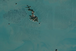
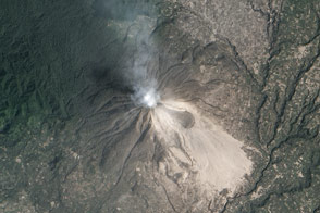
New Lava Dome Grows on Shiveluch Read more
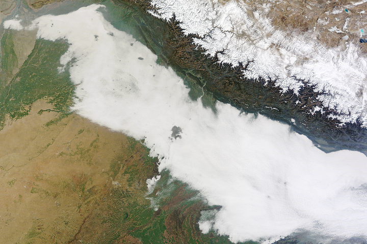
Urban Heat Islands Punch Holes in Fog Read more

Seeing Suomi Read more
Seaweed Farms in South Korea Read more
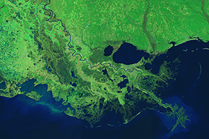
Taming the Mississippi River Read more
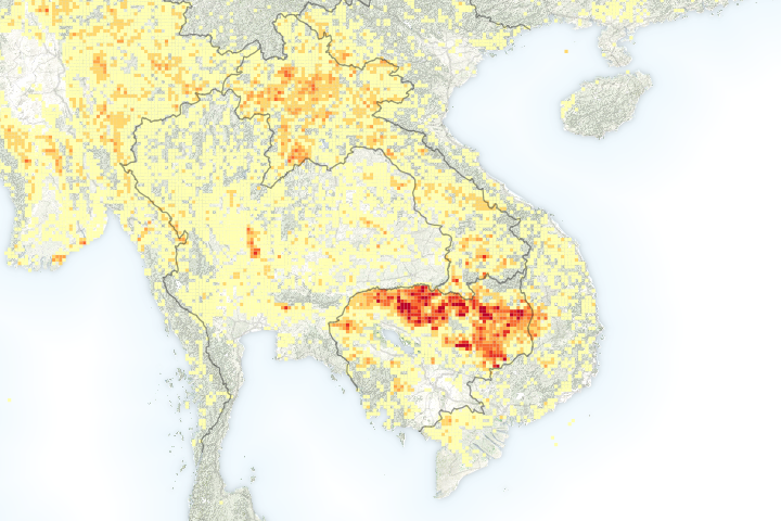
It’s Fire Season in Southeast Asia Read more
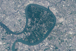
Bang Kachao: Bangkok’s Green Lung Read more
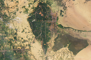
Floods Swamp Southern Thailand Read more
Changed Landscape Around Sinabung Read more