The Landsat satellite record stretches from 1972 to the present. This gallery includes all Landsat images published on the Earth Observatory, Visible Earth, and Landsat Science web sites from all seven Landsat satellites (Landsats 1-8, Landsat 6 failed to achieve orbit). All of the images are in the public domain and may be used with attribution. The correct attribution for imagery obtained from this site is:
“Landsat imagery courtesy of NASA Goddard Space Flight Center and U.S. Geological Survey” or “USGS/NASA Landsat”
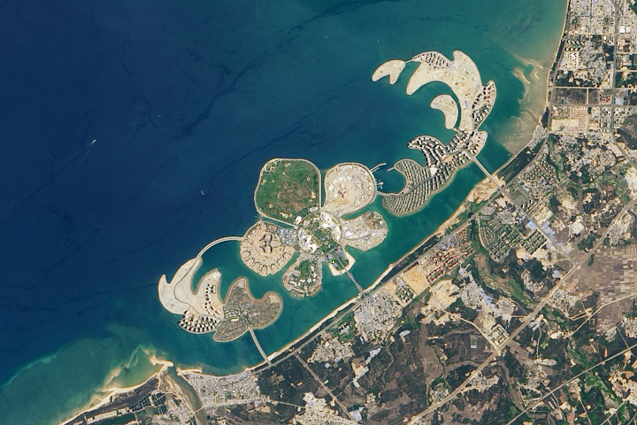
A Sandy Flower in the Pacific Read more
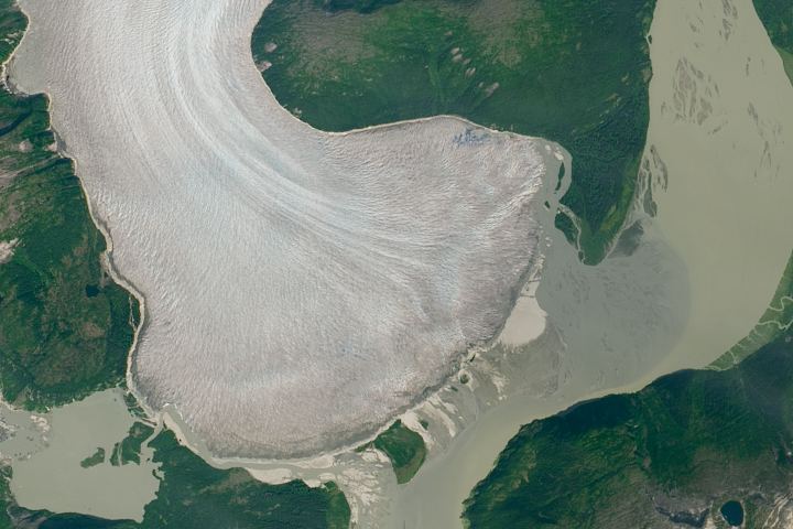
Retreat Begins at Taku Glacier Read more
Still Huffing and Puffing Read more
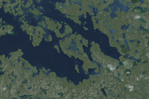
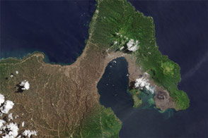
Island in a Lake on an Island in a Lake on an Island Read more
The Alphabet from Orbit: Letter H Read more
Ash on New Britain Read more
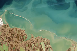
Finding Hidden Shoals on the North Slope Read more
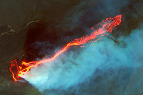
Roiling Flows on Holuhraun Lava Field Read more
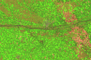
Fall Harvest in Nebraska Read more